Instrument Flying Skills · Approach Charts

Minimum Sector Altitude (MSA), Explained For Instrument Pilots

Minimum sector altitude, or MSA, is the altitude printed in a circle on an instrument approach chart. It gives at least 1,000 feet of obstacle clearance, normally within 25 nautical miles of the point it is built around, and the FAA says it is for emergency use only. It does not promise you a usable navigation signal.

25 NMNormal MSA radius from its center point
1,000 ftObstacle clearance inside the circle
NoneAssurance of navigation signal coverage
$189Fly approaches in the full-motion sim
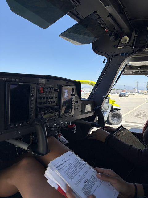
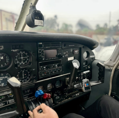
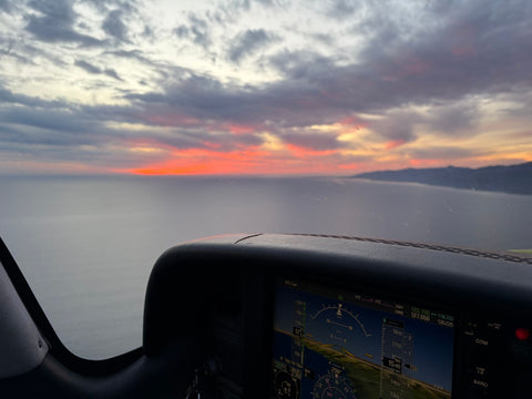
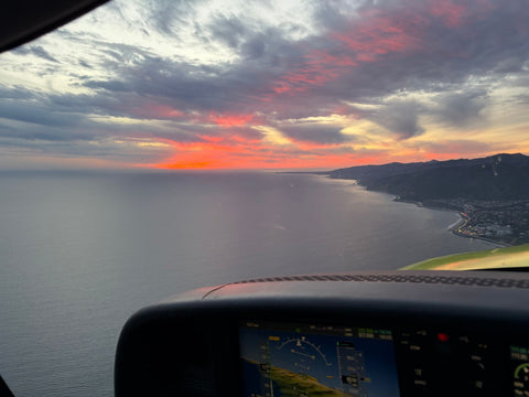
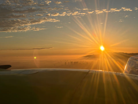
Glass flight display in a training airplane cockpit with the sunset sky ahead

We wrote this guide for instrument students and anyone facing the knowledge test, as part of our hub on instrument flying skills. Every definition below comes from the FAA's Pilot/Controller Glossary, the Aeronautical Information Manual (paragraph 5-4-5) or the Instrument Procedures Handbook (FAA-H-8083-16B), and we name the source each time. If instrument flight rules themselves are new to you, read IFR explained first.

One naming wrinkle before we start. In the FAA's glossary the charted circle is the Minimum Safe Altitude, and Minimum Sector Altitude is the ICAO term for the same idea; the glossary points from one to the other. Pilots use both names, and both shorten to MSA.

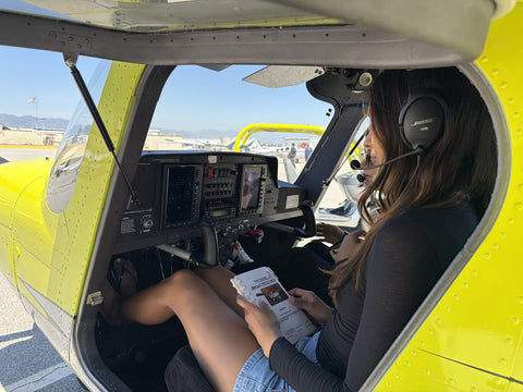
Flight instructor briefing a student pilot in the cockpit before a training flight

The Short Definition

The Pilot/Controller Glossary defines the charted MSA as altitudes "depicted on approach charts or on a DP graphic chart which provide at least 1,000 feet of obstacle clearance within a 25-mile radius of the navigation facility, waypoint, or airport reference point upon which the MSA is predicated." The next sentence is the one that matters in the airplane: "MSAs are for emergency use only and do not necessarily assure acceptable navigational signal coverage."

The ICAO wording says the same thing in metric first. It is the lowest altitude that may be used under emergency conditions, with a minimum clearance of 300 m (1,000 feet) above all obstacles. The area is a sector of a circle of 46 km (25 NM) radius, centered on a radio aid to navigation.

AIM 5-4-5 adds two details the glossary leaves out. The radius is normally 25 NM, but on conventional procedures it may be expanded to 30 NM if that is needed to take in the airport's landing surfaces. And the same circle can appear on a departure procedure chart as well as an approach chart.

The glossary entry has a first item that has nothing to do with the chart: the minimum safe altitudes of 14 CFR part 91, the rule that says how low you may fly over people and property. Same words, different thing. The section on other minimum altitudes below puts the two side by side.

Where MSA Appears On The Chart

The MSA sits in the plan view, the overhead drawing of the approach. AIM 5-4-5 says the depiction carries four things: the identifier of the center point, the radius, a depiction of the sector or sectors, and the minimum altitude for each in feet above mean sea level. Read them in that order.

Step 1 of 4

Find The Center Point

On a conventional approach, the MSA is normally built around the primary omnidirectional navaid the procedure uses, or around the airport reference point if no suitable facility exists. On an RNAV approach it is built around an RNAV waypoint. The identifier printed with the circle tells you which, and the distance that matters is your distance from that point, not from the runway.

Step 2 of 4

Read The Radius

Normally 25 NM. On a conventional procedure the AIM allows up to 30 NM where that is needed to cover the landing surfaces, so read the number printed on the circle instead of assuming it. Outside that radius the MSA tells you nothing at all.

Step 3 of 4

Check The Sector You Are In

Most MSAs are one circle with one altitude. The AIM allows up to four sectors, and only when the MSA is built on a facility and part of the circle needs relief from obstacles. The legend in the FAA's Terminal Procedures Publication notes that arrows on the distance circle identify the sectors. Work out where you are relative to the center point and use the sector that contains you.

Step 4 of 4

Read The Altitude For That Sector

The number is in feet MSL, and the 1,000 feet of obstacle clearance is already built into it. If you cannot tell which sector you are in, we would take the highest altitude on the circle. It costs a little climb and buys certainty.

1,000 ftObstacle ClearanceOver all obstacles within the MSA radius
25 NMNormal RadiusUp to 30 NM on some conventional procedures
EmergencyUse OnlyNot a normal descent altitude
NoneSignal AssuranceThe MSA does not assure navigation coverage

What MSA Is For, And What It Is Not

The glossary and the AIM agree: MSAs are for emergency use. The circle is an altitude you climb to when the plan has come apart, not one you descend to when it is going well. If you become unsure of your position near the airport, or an instrument or navigation failure leaves you unsure of what is below you, the MSA gives you a known floor while you sort it out.

It is not a descent altitude for a normal approach. Once you are cleared, you fly the altitudes printed on the segments of the procedure, which the profile view marks as minimum, maximum, mandatory or recommended (AIM 5-4-5).

It is not a promise of reception. The glossary says MSAs do not necessarily assure acceptable navigational signal coverage, so a navaid can be out of reach at the MSA and the circle will not warn you.

And it is not the altitude a controller vectors you at. Radar controllers use the minimum vectoring altitude, and the glossary notes that the charts showing it are normally available only to controllers, not to pilots. The number on your chart and the number on the controller's map are drawn for different jobs.

MSA Vs The Other Minimum Altitudes

Instrument charts and rules carry several minimum altitudes, and they are easy to mix up. Here they are together, each from the FAA source that defines it.

Minimum Altitudes Compared
Altitude Source What It Gives You When It Applies
Minimum Safe (Sector) Altitude, MSA Pilot/Controller Glossary; AIM 5-4-5 At least 1,000 ft of obstacle clearance, normally within 25 NM of the center point Emergencies only; navigation signal not assured
Emergency Safe Altitude, ESA Pilot/Controller Glossary 1,000 ft of obstacle clearance, or 2,000 ft in designated mountainous areas, within 100 NM Emergencies; normally military procedures
Terminal Arrival Area (TAA) altitudes AIM 5-4-5 At least 1,000 ft of obstacle clearance, more in mountainous areas Arriving on procedures that publish a TAA, in place of the MSA
Minimum En Route IFR Altitude, MEA Pilot/Controller Glossary; 14 CFR 91.177 Obstacle clearance between fixes and acceptable navigation signal coverage Normal IFR flight on airways and routes
Minimum Obstruction Clearance Altitude, MOCA Pilot/Controller Glossary; 14 CFR 91.177 Obstacle clearance for the whole segment; signal coverage only within 22 NM of a VOR Below the MEA, within 22 NM of the VOR
Minimum Vectoring Altitude, MVA Pilot/Controller Glossary IFR obstacle clearance criteria Radar vectors; charts normally held only by controllers
Minimum safe altitudes, 91.119 14 CFR 91.119 1,000 ft above the highest obstacle within 2,000 ft over congested areas; 500 ft above the surface elsewhere All flight, except when necessary for takeoff or landing

The pair that causes the trouble is the first row and the last. 91.119 protects people and property under you in every phase of flight except takeoff and landing. The MSA protects you from obstacles within 25 NM of a point, in an emergency, on instruments. Over a congested area, 91.119 asks for 1,000 feet above the highest obstacle within a horizontal radius of 2,000 feet; over open water or sparsely populated areas it asks you to stay 500 feet from any person, vessel, vehicle or structure. Our guide to flying in Los Angeles airspace applies 91.119 to the city in its section on how low you may fly.

All of these are floors. How high airplanes actually fly above them, from a trainer over the Valley to an airliner at cruise, is the subject of How High Do Planes Fly.

The TAA deserves a second look on RNAV charts. Where a procedure publishes one, AIM 5-4-5 says its altitudes replace the MSA, and the IPH tells you to use the TAA altitudes in place of the MSA in an emergency. For the minimums at the bottom of an approach, the DA and the MDA, see our page on FAR 91.175. Short definitions of every term in this table are in the aviation glossary.

Studying For The Rating? Bring your questions, and your logbook if you have one, to a free consultation with an instructor at Van Nuys. It takes about half an hour, and you leave knowing where you stand against the instrument rating requirements and what the next step costs. Book a free consultation or call (818) 330-1318.

Fly The Chart, Not Just Read It

Book The Simulator, A Lesson Or A First Flight

Brief and fly an approach in the Redbird MCX for $189, take a two-hour lesson from $349, or start with a $229 discovery flight from Van Nuys.

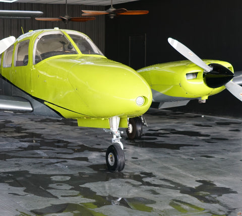
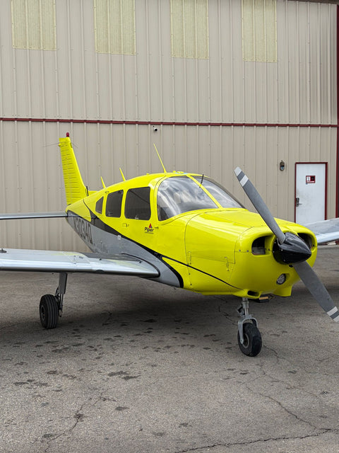
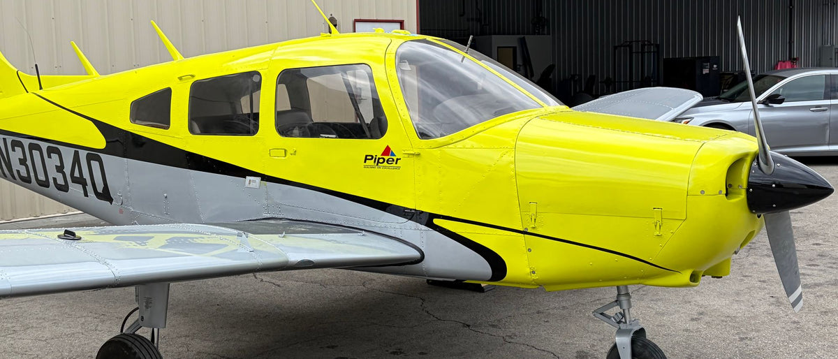
Piper Warrior N3034Q, front quarter, beside an open hangar at Van Nuys Airport
PIPER WARRIOR · 160 HP · LOW WING
The Classic 60–120 Min

Discovery Flight For One

Credited in full toward your training if you enroll within 24 hours.

One seat, one instructor, no audience. You take the controls once we are clear of the Van Nuys pattern, and your instructor signs the time into your logbook if you bring one.

  • Hands-on stick time
  • Pre-flight briefing and walk-around
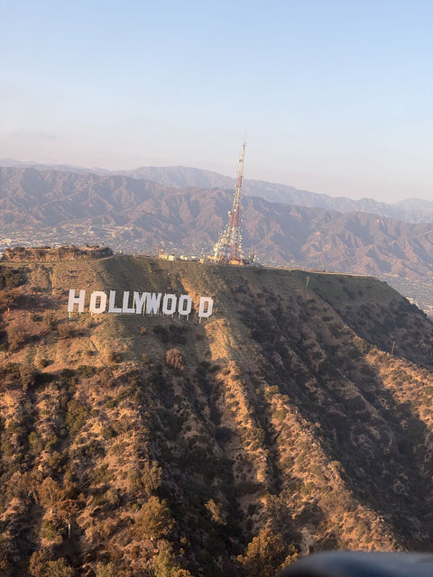
  • Hollywood Sign and downtown
  • One-on-one with an FAA-certified instructor
  • Bring your logbook, we sign it

Flight Length

$229all-in · one flyer · 60 minutes

Book For One

Weight limit 180 lb for the person flying.

Or gift it →
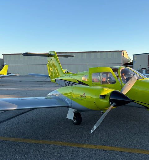
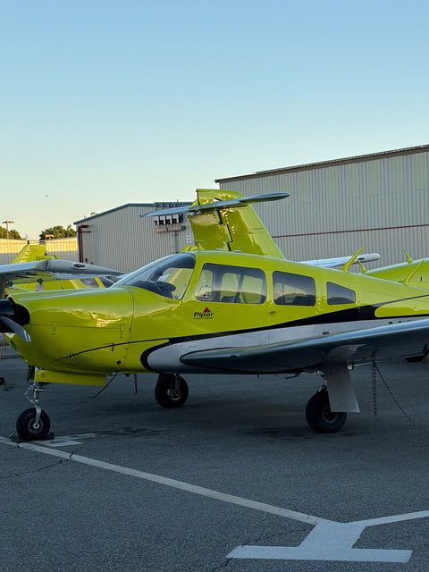
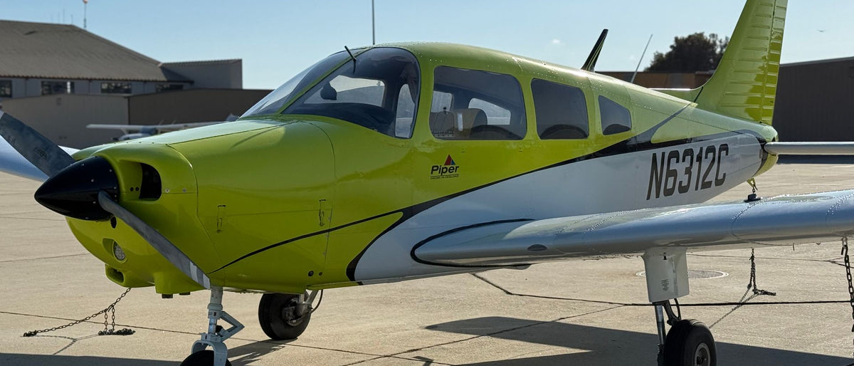
Piper Warrior N6312C, a four-seat low-wing trainer, parked on a sunny ramp
PIPER WARRIOR · FOUR SEATS
★ Most Popular 60–120 Min

Discovery Flight For Two Over Downtown

Logged as dual instruction toward the 40-hour minimum for a private license.

One of you flies while the other rides on the intercom and ends up as the photographer. The route runs past the Hollywood Sign and around the downtown towers.

  • Two seats in the Piper Warrior
  • Headsets for both of you
  • Hollywood Sign and the downtown towers
  • Hands-on flying for one of you
  • Pre-flight briefing and walk-around

Flight Length

$299all-in · two seats · 60 minutes

Book For Two

Weight limit 360 lb combined.

Or gift it →
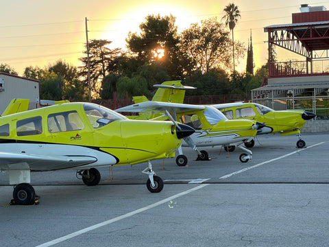
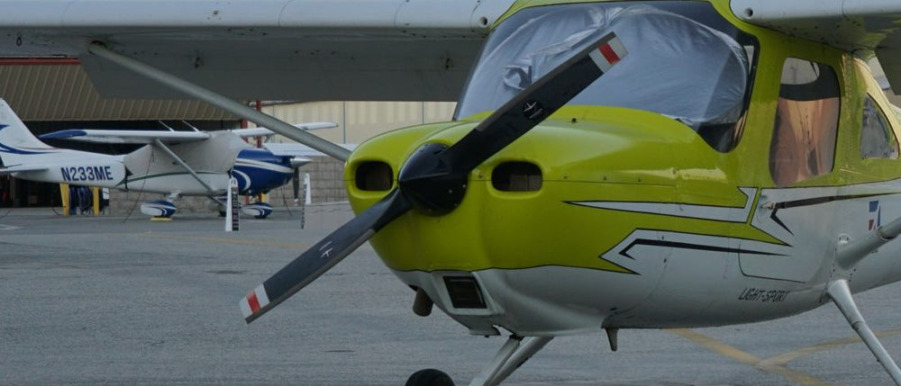
Cessna 162 Skycatcher trainer seen nose first on the Van Nuys ramp at sunset
CESSNA 162 · OR PIPER WARRIOR
Day One 2 Hours

Two-Hour Beginner Flying Lesson

Credited in full toward your training if you enroll within 24 hours.

Half an hour on the ground learning what the yoke, the pedals and the throttle do, then about seventy minutes in the air over Simi Valley with your instructor beside you.

  • 30-minute ground lesson first
  • About 70 minutes at the controls
  • Simi Valley and the Santa Susana Mountains
  • Cessna 162 or Piper Warrior
  • Debrief and a signed logbook entry

Lesson Length

$349all-in · one student · 2 hours

Book The Lesson

Weight limit 180 lb for the person flying.

Or gift it →
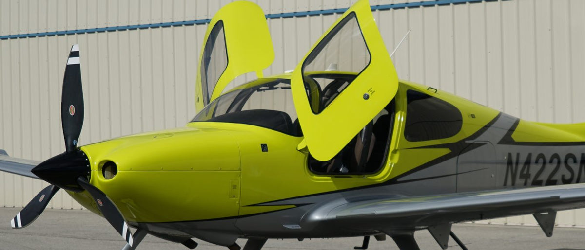
Cirrus SR22 Turbo with its gull-wing door open on the ramp at Van Nuys+ Luxury
CIRRUS SR22 TURBO · N422SN · 310 HP
+ Luxury 2 Hours

Two-Hour Beginner Flying Lesson In The Cirrus SR22 Turbo

Turbocharged, all glass, and fitted with a whole-airframe parachute.

Not the sensible first lesson, and most people do not start here. The ones who do usually know they will finish the certificate and want to begin in the airplane they will fly afterwards.

  • Cirrus SR22 Turbo N422SN
  • Cirrus Perspective glass panel
  • CAPS whole-airframe parachute
  • Side-stick and 310 hp
  • About 70 minutes at the controls

Lesson Length

$749all-in · one student · 2 hours

Book The Cirrus

Weight limit 200 lb for the person flying. No guest seat on this lesson.

Or gift it →

Why Terrain Makes This Real Around The San Fernando Valley

Van Nuys Airport sits on the floor of the San Fernando Valley, a Class D airport under the Los Angeles Class B shelf, with parallel runways of 8,001 and 4,000 feet. The Valley is ringed by high ground: the Santa Monica Mountains to the south, the Santa Susana Mountains to the northwest, where our practice area lies, and the San Gabriel Mountains to the northeast, beyond Whiteman Airport six miles away.

High ground on three sides is the reason to read the MSA circle on any chart around here before you need it. We are not going to print MSA values from memory on a web page, and you should not use them from one. The only MSA to trust is the one on the current chart for the procedure you are flying, from the FAA's Terminal Procedures Publication, checked on the ground before the flight.

The same ridges shape every flight out of Van Nuys, visual or instrument. If you have only seen them from the freeway, a $229 discovery flight puts you in the left seat above the Valley for an hour. A two-hour first lesson for $349 is the first entry in a logbook that can end with an instrument rating.

Van Nuys Airport · Los Angeles

Unbeatable Location

Van Nuys (KVNY): Class D beneath the Burbank Class C, just north of the Los Angeles Class B, 300+ flyable days, the coast thirteen miles away.

KVNY · Van Nuys · Los AngelesSchematic · Not For Navigation
Schematic chart of Van Nuys Airport (KVNY) and the airspace around it: the Van Nuys Class D, the Burbank Class C, the LAX Class B shelves and the Simi Valley practice area. Not for navigation. 405101118 Simi Valley Santa Clarita San Fernando Glendale Pasadena Calabasas Santa Monica Thousand Oaks Hollywood San Fernando Valley Santa Monica Mountains Pacific Ocean Van Nuys Class D Burbank Class C LAX Class B KVNY · Van Nuys KBUR · Burbank KWHP · Whiteman LAX Practice Area 2 3 4 5 6 7 8 9 10 11 PA
  • Class B
  • Class C
  • Class D
  • Practice Area
  • Typical Route

KVNY · Class D Tower

Van Nuys Airport (KVNY)

Runways
16R/34L · 8,001 Ft
16L/34R · 4,000 Ft
Nearby
Burbank (KBUR) Class C · 11 Mi E
Whiteman (KWHP) · 6 Mi NE
Find Us
7900 Balboa Blvd, Main Terminal Unit 108, Van Nuys, CA 91406
Open 7 days · 9:00 AM – 9:00 PM
Included Every Time

What A $229 Discovery Flight Includes

$229 · All-In 60 Min Flight Time

Not a pilot yet? Every instrument rating starts with a first hour in the left seat. Discovery flights leave our ramp at Van Nuys Airport (KVNY) with an FAA-certificated flight instructor, and the full price is credited toward training if you enroll within 24 hours.

How MSA Shows Up In Training And On The Written

The ACS that governs the instrument checkride, FAA-S-ACS-8C, never uses the words minimum safe altitude. The nearest element is IR.I.C.K2 under cross-country flight planning: altitude selection accounting for terrain and obstacles, glide distance of the airplane and IFR cruising altitudes. Appendix 1 of the ACS says knowledge and risk management elements are primarily evaluated during the knowledge testing phase, so that element belongs on your written study list. Controlled flight into terrain appears as a risk element in the circling approach task, IR.VI.D.R6.

The chart side of it comes from AIM 5-4-5 and chapter 4 of the IPH, both summarized above. In the airplane or the simulator, you meet the MSA every time you brief the plan view of an approach. The other plan-view symbol worth knowing cold is the hold, and our guide to holding patterns covers it. The knowledge test itself is covered on the instrument written and the ACS.

If you are training for the rating, our instrument package is $11,700: 20 hours in the airplane, 20 in the Redbird MCX full-motion simulator, 40 hours of dual instruction and 10 of ground. The course is explained on instrument rating in Los Angeles. If you would rather fly an approach before you commit to anything, an hour in the simulator with an instructor is $189.

Pick A Rating

Every Hour And Every Dollar, Course By Course

The instrument course is $11,700: 20 hours in the airplane, 20 in the simulator, 40 dual and 10 ground. Open the Instrument tab to see it beside the other ratings.

Questions About Minimum Sector Altitude

Is Minimum Sector Altitude The Same As The Minimum Safe Altitude In 91.119?

No. The Pilot/Controller Glossary lists them as separate items under one heading. 91.119 governs all flight except takeoff and landing, and its paragraph (a) also requires, anywhere, an altitude that allows an emergency landing without undue hazard to people or property if a power unit fails.

How Far Does An MSA Protect You?

Normally 25 NM from its center point, with at least 1,000 feet of obstacle clearance. The ICAO definition gives the same radius as 46 km and the clearance as 300 m.

Can I Descend To The MSA On A Normal Approach?

No. The MSA is for emergency use. On a normal approach, 14 CFR 91.177 holds you to the minimum altitudes prescribed in parts 95 and 97 of the regulations, and part 97 is where standard instrument approach procedures are published.

Does The MSA Assure Radio Or GPS Reception?

No. The glossary says MSAs do not necessarily assure acceptable navigational signal coverage. The altitude that does promise acceptable signal coverage en route is the MEA.

What Is An Emergency Safe Altitude?

An altitude giving 1,000 feet of obstacle clearance, or 2,000 feet in designated mountainous areas, within 100 NM of the facility or waypoint at its center. The glossary says ESAs are normally used only in military procedures, and they are labelled Emergency Safe Altitudes on the chart.

What Replaces The MSA On Many RNAV Approaches?

The Terminal Arrival Area. AIM 5-4-5 describes it as a transition from the en route structure to the terminal environment, divided into straight-in, left-base and right-base areas, and where one is published its altitudes replace the MSA.

Read The Chart, Then Fly It At Van Nuys

Fly an approach in the Redbird MCX for $189, or plan the $11,700 instrument package at a free consultation. Not licensed yet? Start with a $229 discovery flight or a $349 first lesson.

Call (818) 330-1318, seven days a week, 9 AM to 9 PM.