




















Nine Miles East, And Nothing In The Way
West Hills residents learn to fly at Van Nuys Airport, 9.1 miles east and about nineteen minutes on surface streets. You Fly LA is at 7900 Balboa Blvd, Main Terminal Unit 108, Van Nuys, CA 91406. The 91307 is the western edge of the City of Los Angeles — Ventura County starts at Valley Circle Blvd — and it has no airfield, which is why almost every inquiry we take from West Hills begins with the same wrong assumption about Camarillo.
About 26,580 people live here, with a median household income near $151,200, one of the highest figures in the San Fernando Valley. We also serve gated Bell Canyon, immediately west over the county line. Comparing schools across the region first? Start with our Los Angeles flight school overview.
The Camarillo Assumption
Because West Hills backs onto Ventura County, people here reliably guess that Camarillo Airport is the closer field. It is not close to being closer, and this is the one number on the page worth checking yourself before you book anything.
Van Nuys is 9.1 miles from the corner of Vanowen and Valley Circle. Camarillo is roughly twenty-seven — west on the 101 through Calabasas and Agoura, up and over the Conejo Grade, through Thousand Oaks and Newbury Park, and back down into the Oxnard Plain. That is three times the distance, and the 101 westbound in the afternoon is the least reliable stretch of freeway on the route. Santa Monica is nearer than Camarillo as the crow flies, but it sits on the far side of the Santa Monica Mountains with Westside traffic behind it.
| Airport | Route | Distance | Typical Drive |
|---|---|---|---|
| Van Nuys (VNY) — You Fly LA | Vanowen or Sherman Way east to Balboa | 9.1 mi | 17–22 min |
| Camarillo (CMA) | 101 west over the Conejo Grade | ~27 mi | 35–45 min, 55+ at peak |
| Santa Monica (SMO) | 101 east, 405 south, or over the hill | ~22 mi | 35–55 min |
| Whiteman (WHP) | 118 east, 405 south, 5 north | ~21 mi | 25–35 min |
| Bell Canyon gate to Van Nuys | Valley Circle, then Vanowen east | ~11 mi | 22–27 min |
The Drive: Vanowen Or Sherman Way
Both work and there is no freeway involved in either. Vanowen St runs east from Valley Circle through Canoga Park and Winnetka, across Reseda and Lindley, and meets Balboa Blvd about a mile south of the airport; turn north and you are there. Sherman Way, one long block north, does the same thing and hits Balboa right at the airport's southern boundary. Pick whichever is closer to your street. Nineteen minutes is the honest average and it changes remarkably little between 10 a.m. and 6 p.m., because neither road depends on a freeway to work.
If Vanowen is closed for construction west of Winnetka, Victory Blvd is the parallel. Coming from the north end of the 91307, Roscoe Blvd east to Balboa and south is about the same distance.
Bell Canyon And The Gated West End
Bell Canyon sits over the county line at the head of its own canyon, reached through the gate on Valley Circle. Add four to six minutes to get from a Bell Canyon address down to Valley Circle, then it is the same Vanowen run east — call it eleven miles and twenty-five minutes door to ramp, which is still well under half the drive to Camarillo.
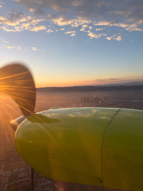
It is also, from the air, the best thing out here. The canyon is a green finger pushed up into the Simi Hills, and from two thousand feet you can see the whole of it at once: the road winding up the floor, the houses set back into the folds, the ridge line closing it off at the top. Residents who have lived there twenty years have generally never seen their own canyon end to end.
Ten Minutes Over The Western Edge
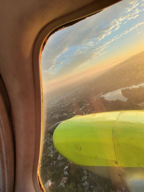
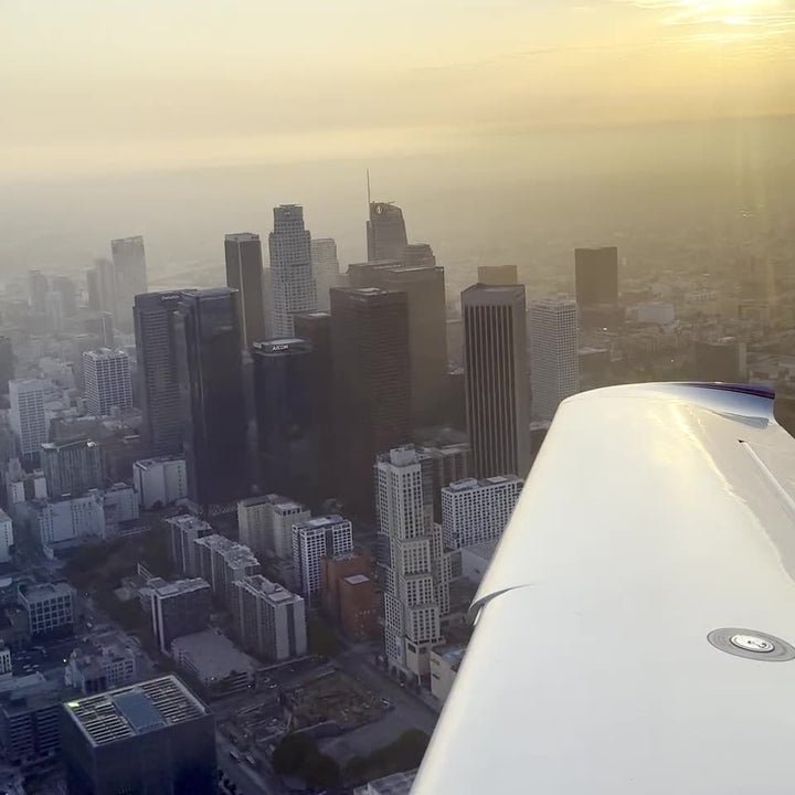
Departing Van Nuys and turning west puts you over the most abrupt city-to-wilderness boundary in Los Angeles County, and unlike most such boundaries this one is a straight line you can trace with a finger.
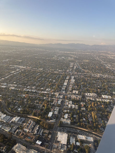
The grid runs west, tight and rectangular, and then simply stops at Valley Circle. Beyond it is the Upper Las Virgenes Canyon Open Space Preserve — thousands of acres of rolling grassland and oak, green in March, gold by June, with no buildings on it at all. Castle Peak and the rocks of El Escorpion Park stand up at the west end of Vanowen, a small dramatic outcrop that looks like nothing much from the road and like a proper landmark from above.
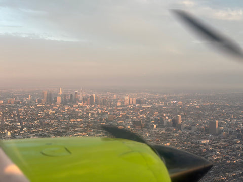
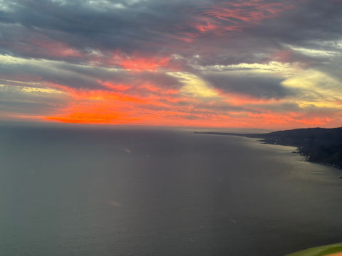
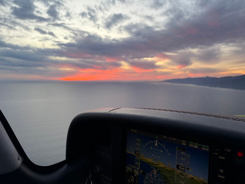
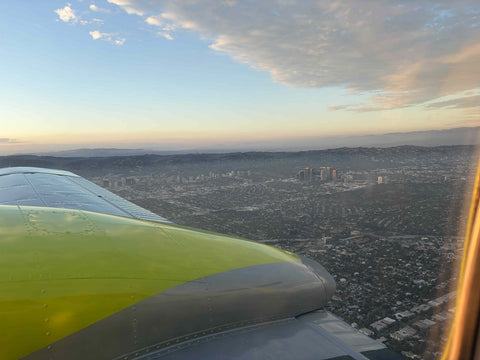
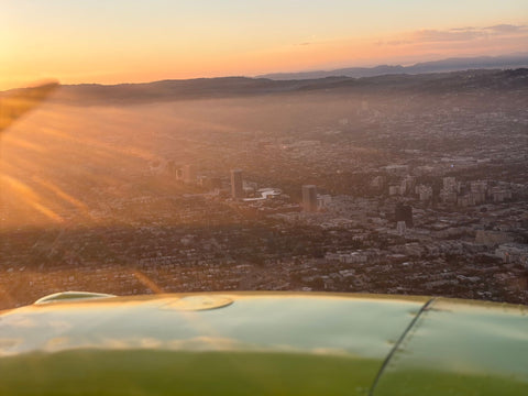
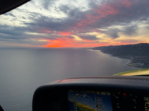
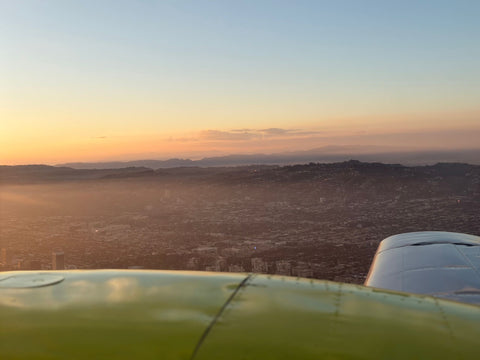
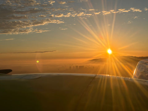
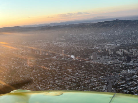
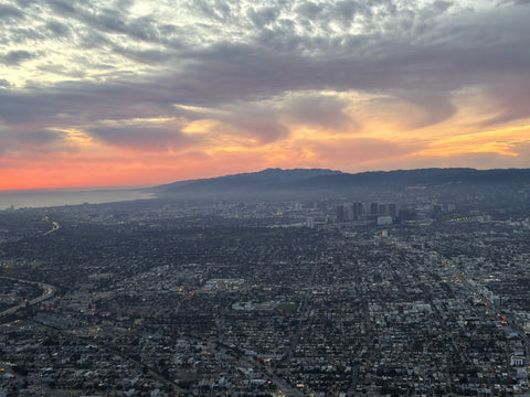
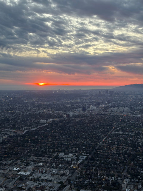
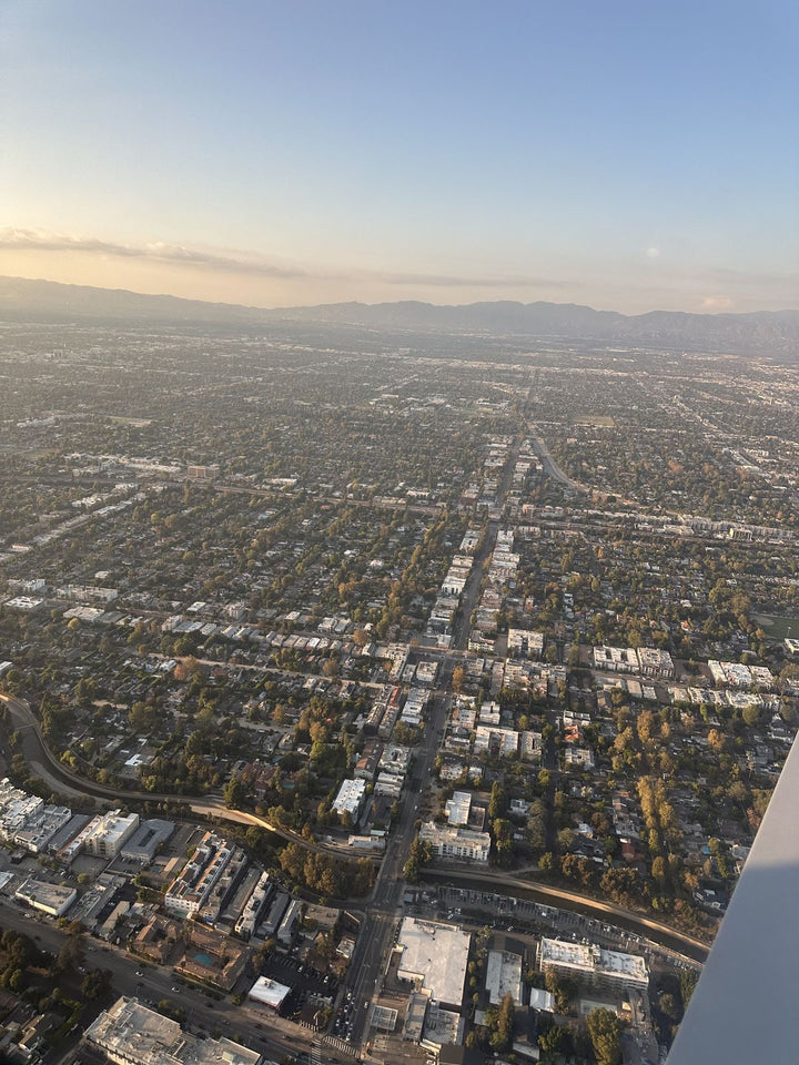
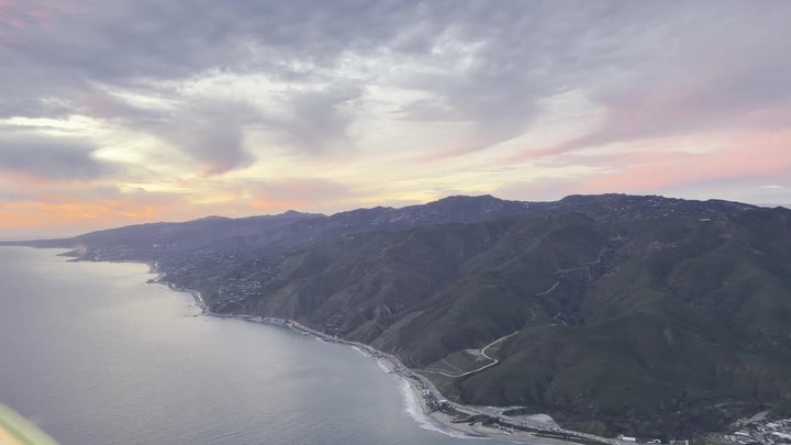
North-west are the Simi Hills with Bell Canyon cut into them. North is the wide dry bowl of the Chatsworth Reservoir. South, the Santa Monica Mountains run west toward Malibu, and the notch of Malibu Canyon is visible cutting through them to the coast; on a clear winter day the ocean is right behind it. Turn back east and the Valley is laid out flat in one frame with the San Gabriels stacked up at the end.
West Hills is about nineteen minutes east on surface streets. The western edge of the Valley you have just been reading about is the first thing you see after takeoff.
Neighborhoods And ZIP Codes We Serve
91307 is the core — Shadow Ranch, the streets above Vanowen and Sherman Way, the Justice St and Fallbrook corridors, the neighborhoods around West Hills Hospital, and Bell Canyon over the county line. We also train students from 91304 (Canoga Park) on the eastern edge and 91311 (Chatsworth) to the north. If you are south of the 101, our Calabasas page and Woodland Hills page cover those routes. Directly east across Topanga Canyon Blvd the same streets serve our Canoga Park flight school page, and the blocks between De Soto and Reseda are covered by flight training in Winnetka.
What It Costs
| Item | Detail | Price |
|---|---|---|
| Discovery Flight | 60 / 90 / 120 min | $229 / $299 / $399 |
| Discovery Flight For Two | 60 / 90 / 120 min | $299 / $399 / $499 |
| Teens Pilot Course | ages 10–15 | $4,200 |
| Sport Pilot | 20 hr FAA minimum | $8,400 |
| Private Pilot — Standard | 40 hr | $10,400 |
| Private Pilot — Comprehensive | 60 hr | $15,400 |
| Instrument Rating | add-on | $11,700 |
| Aircraft, per hour | standard | $179 |
| Diamond DA20, per hour | — | $229 |
| Full-Motion Simulator | 60 min | $189 |
The number you see is the number you pay. Products are non-taxable and we charge no booking fee, so $229 is the entire cost of a 60-minute discovery flight. How much flight school costs breaks the training figures down further, and financing covers the monthly route. Our page on flying lessons across Los Angeles covers how those lessons are structured week by week. The single-lesson version is a discovery flight from West Hills.
Taking A Second Person, Or A Teenager
West Hills is an established family suburb, so two questions come up here constantly: can somebody come along, and can a teenager start?
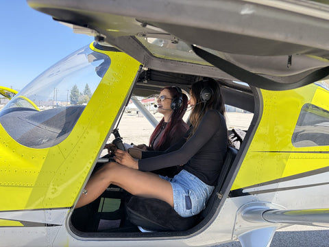
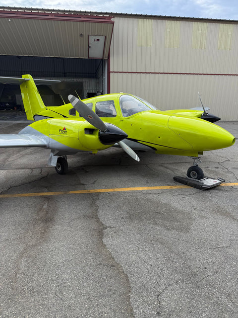
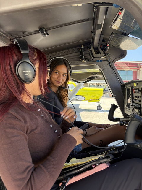
Yes to both. The Discovery Flight For Two is $299, $399 and $499 for 60, 90 and 120 minutes and puts a second person in the back. Only the person in the left seat handles the controls; everyone gets the view and the photographs. The practical constraint is weight, not seats — the Piper Warrior is limited to 180 lb per person and 360 lb combined, and the Cirrus to 200 lb and 400 lb, so tell us the numbers when you book rather than at the airplane.
For teenagers, the Teens Pilot Course is $4,200 and runs from ages 10 to 15 — well before the FAA's age requirements for soloing and for the certificate itself. That is the point of it: a fourteen-year-old who starts now reaches those milestones already competent rather than starting from zero. Larger family and group bookings go through groups and events.
Frequently Asked Questions
Is Camarillo Closer To West Hills Than Van Nuys?
No. Van Nuys is 9.1 miles and about nineteen minutes on surface streets. Camarillo is roughly twenty-seven miles west on the 101 over the Conejo Grade, typically 35 to 45 minutes and considerably more in afternoon traffic. Van Nuys is about a third of the distance.
How Do I Drive From West Hills To Van Nuys Airport?
Take Vanowen St or Sherman Way east from Valley Circle Blvd all the way to Balboa Blvd, then turn north for 7900 Balboa. No freeway is involved and the drive changes very little between mid-morning and evening.
Do You Serve Bell Canyon?
Yes. Allow four to six minutes from a Bell Canyon address down to Valley Circle Blvd, then the same Vanowen run east — about eleven miles and twenty-five minutes in total. Bell Canyon is also one of the best things to look at from the air out here.
Is There A Flight School In West Hills?
No — there is no airfield anywhere in West Hills, Bell Canyon or Canoga Park. Van Nuys is the closest airport with instructors, aircraft and maintenance on site, and you can reach it without touching a freeway.
What Will I See On A Flight From West Hills?
The Simi Hills and Bell Canyon to the north-west, the open grassland of the Upper Las Virgenes Canyon Open Space Preserve where the street grid stops dead at Valley Circle, Castle Peak and El Escorpion Park, the Chatsworth Reservoir basin to the north, and the Santa Monica Mountains running west toward Malibu.
Can My Teenager Start Flight Training?
Yes. The Teens Pilot Course is $4,200 and runs from ages 10 to 15, which is well ahead of the FAA's age requirements for soloing and for the certificate itself. Starting early means arriving at those milestones already competent.
How Much Is A Discovery Flight, And Is Anything Added At Checkout?
$229 for 60 minutes, $299 for 90 and $399 for 120. Nothing is added — no tax and no booking fee, so $229 is the total. Two people can go up together for $299, $399 or $499.
Related Pages
- What Is A Discovery Flight — what the first hour involves and who flies the airplane.
- Diamond DA20-C1 — the bubble-canopy trainer, $229 per hour.
- Private Pilot License — the course tiers and what each includes.
- Aircraft Rental At Van Nuys — for pilots who already hold a certificate.
- Flight Training At Van Nuys Airport — what a week of lessons looks like.
- Flight School Near Chatsworth — immediately north, across Roscoe.
- Flight School Near Northridge — east along Nordhoff toward the airport.
- Service areas around Van Nuys — drive times from every neighborhood we serve.
Book Your First Flight
Nineteen minutes east on Vanowen, not forty-plus west on the 101. Book a discovery flight online, or call (818) 330-1318 and we will work out which program fits before you commit to anything. We are at 7900 Balboa Blvd, Main Terminal Unit 108, Van Nuys, CA 91406, open 9:00 AM to 9:00 PM, seven days a week.
Book A Discovery Flight — $229 Book A Free Consultation Call (818) 330-1318