




















Overview
Thousand Oaks has no airfield, so choosing a flight school in Thousand Oaks means choosing a direction. You Fly LA is 24.0 miles east at Van Nuys Airport — about 32 minutes on the 101 — at 7900 Balboa Blvd, Main Terminal Unit 108, Van Nuys, CA 91406. Camarillo is the alternative to the west, and this page gives the honest version of that comparison rather than pretending it does not exist.
The Conejo Valley is roughly 125,205 people with a median household income near $135,600, spread across Thousand Oaks, Newbury Park, Westlake Village and Oak Park, and there is no runway inside any of it. Which way you should go depends on which end of the valley you live in — and, in late spring, on the weather.
The Drive: 101 East, 24 Miles, About 32 Minutes
From Thousand Oaks Boulevard or Moorpark Road, take the 101 eastbound. You pass Westlake Boulevard, Lindero Canyon and Kanan, cross the Los Angeles County line around the Westlake area — the neighborhood straddles it, which is why some Westlake addresses read Thousand Oaks and others read Westlake Village — then run through Agoura Hills and Calabasas. After Las Virgenes the freeway drops the long grade into Woodland Hills and opens into the San Fernando Valley. Exit at Balboa Blvd in Encino, turn left, and go north three miles through the Sepulveda Basin to 7900 Balboa, just below Roscoe.
Timing. Off-peak that is 30 to 35 minutes. Eastbound between 7:00 and 9:30 am, budget 45 to 65. Westbound home between 4:00 and 6:30 pm is worse — the Calabasas and Woodland Hills stretch is one of the slowest sections of the 101 in the county — and 50 to 70 minutes is realistic. After about 7:00 pm it is quick again.
There is no good alternate, and that matters. The Conejo Valley has exactly one freeway going east. If the 101 stops, surface streets through Agoura and Calabasas absorb the overflow badly and no canyon road helps. Inside the Valley you do have options — exit at Winnetka or Reseda and run east on Victory or Vanowen — worth doing when the last five miles are stacked. Balboa through the Sepulveda Basin also closes after heavy winter rain; Woodley Avenue is the parallel. So book mid-morning, early-afternoon or weekend slots rather than fight the peak. We fly 9:00 AM to 9:00 PM, seven days a week.
Camarillo Or Van Nuys? The Honest Comparison
Camarillo Airport is a real airport with real flight training, it is west of you, and for part of the Conejo Valley it is closer. Pretending otherwise would be silly. Three things decide it. We have also set the whole comparison out side by side in Van Nuys vs Camarillo flight training.
Where In The Conejo You Live
The valley is only about twelve miles end to end, and that is enough to flip the answer. From Newbury Park, Camarillo is roughly thirteen miles against Van Nuys' twenty-eight, and wins outright. From central Thousand Oaks it is about six miles shorter. From Westlake Village the two are within a couple of miles and Van Nuys edges it. From Oak Park, Van Nuys is nearer by roughly eight miles and it is not close.
The Conejo Grade
Going west means dropping the Conejo Grade — the 101 loses about seven hundred feet in three miles from Newbury Park onto the Oxnard Plain, and climbs the same coming home. It is a truck grade, it is where westbound traffic slows first, and when something happens on it there is no way round: the alternative is Santa Rosa Road, a two-lane country road over the Norwegian Grade.
The Marine Layer, Which Is The Real Difference
This is geography, not criticism. Camarillo Airport sits at 77 feet, five miles from the coast on the Oxnard Plain. Van Nuys sits at 802 feet, inland behind the Santa Monica Mountains. In May and June the marine layer parks on the Oxnard Plain and often stays past midday, while the San Fernando Valley burns off by mid-morning. If your training window is weekday mornings in late spring — which for most working students it is — the inland field flies on more of them, and canceled lessons are what make training take two years instead of one.
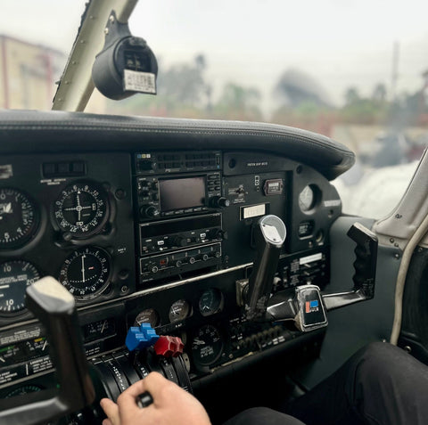
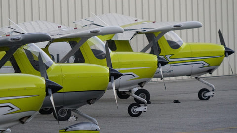
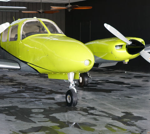
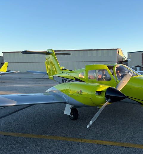
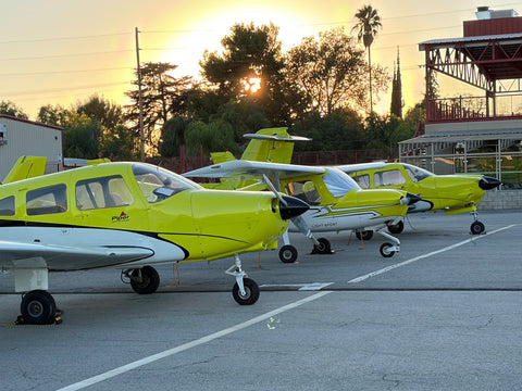
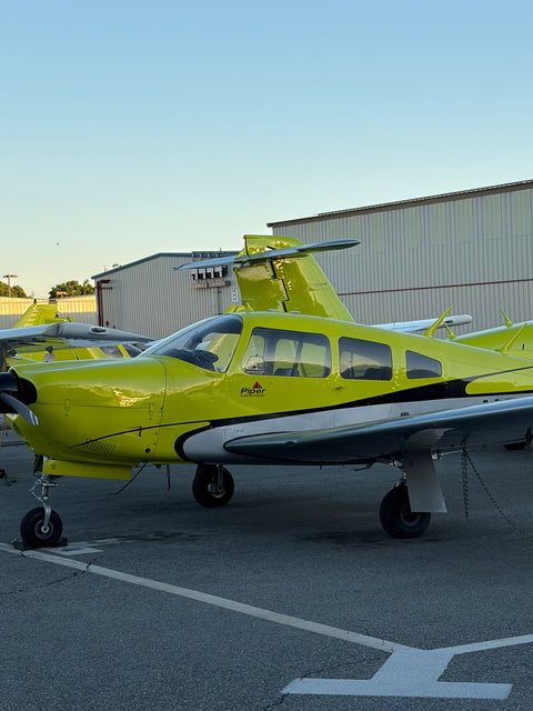
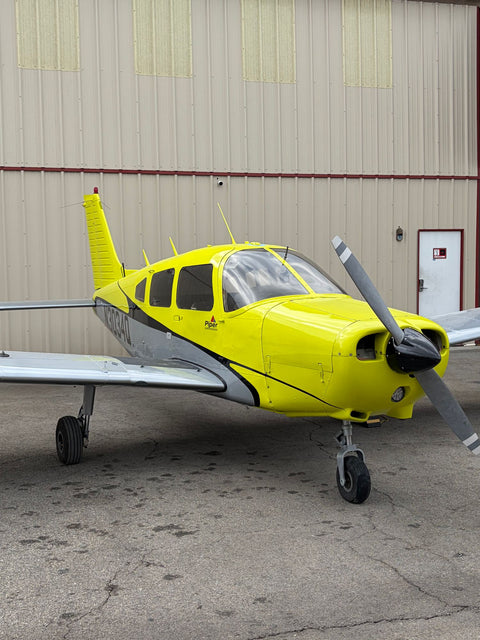
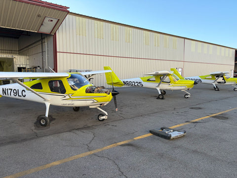
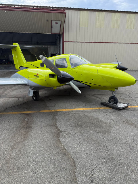
The rest is fleet depth. Van Nuys holds the largest concentration of training aircraft, instructors and maintenance in Southern California. Our fleet runs from a Piper Warrior and a Diamond DA20 through the Arrow and Seminole to the Cirrus SR22T — see Cirrus training in Los Angeles.
Distances By Neighborhood
| From | Distance | Off-Peak | Weekday Peak | Closer Field |
|---|---|---|---|---|
| Newbury Park (91320) | 28 mi | 36–42 min | 55–75 min | Camarillo |
| Thousand Oaks, central (91360) | 24.0 mi | 30–35 min | 45–65 min | Camarillo, by ~6 mi |
| Westlake Village (91361 / 91362) | 21 mi | 27–32 min | 40–60 min | Van Nuys |
| Oak Park (91377) | 20 mi | 26–31 min | 38–55 min | Van Nuys |
| Agoura Hills (91301) | 18 mi | 24–29 min | 35–50 min | Van Nuys |
We take students from all five Conejo ZIPs: 91320 Newbury Park and Dos Vientos, 91360 central and north Thousand Oaks, 91361 North Ranch and the Ventura County side of Westlake, 91362 eastern Thousand Oaks and the Los Angeles County city of Westlake Village, and 91377 Oak Park. At the Agoura end, our Calabasas flight school page covers the same corridor a few miles east. Between them sit flying lessons in Agoura Hills and flight training in Westlake Village, each with its own write-up of the drive.
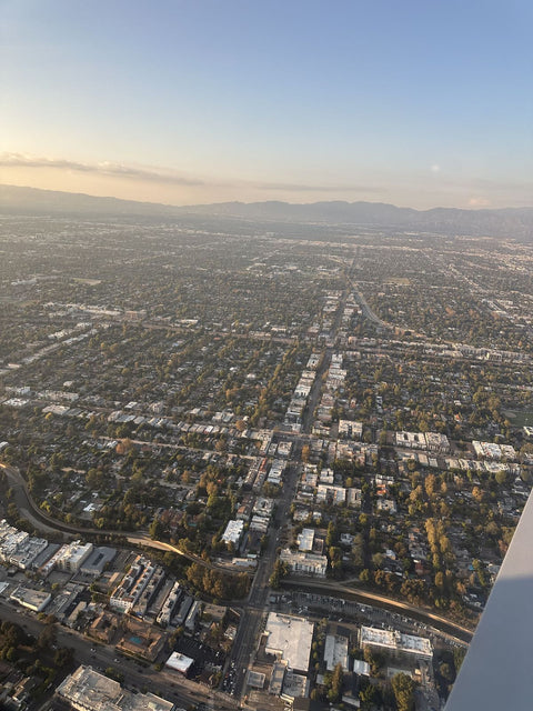
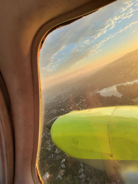
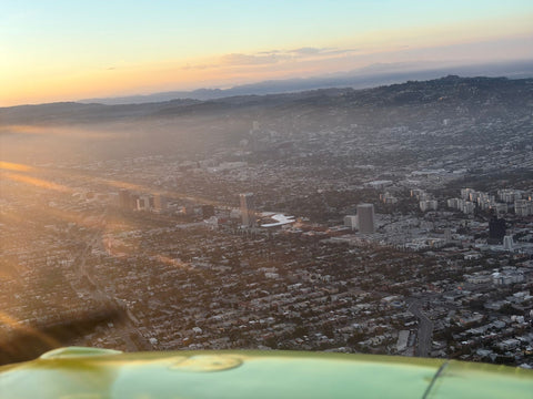
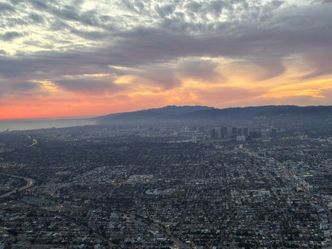
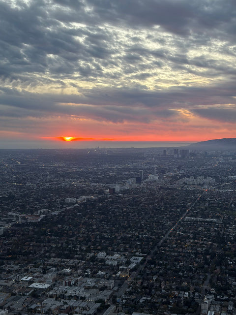
The Conejo Valley From The Air
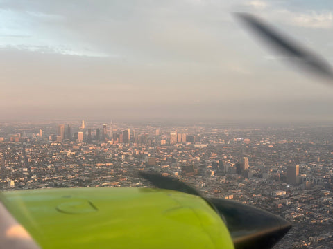
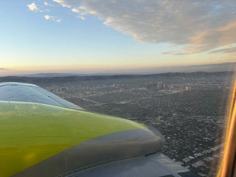
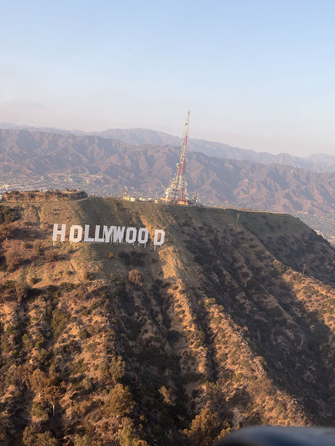
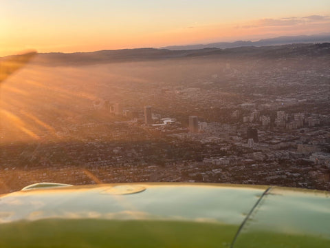
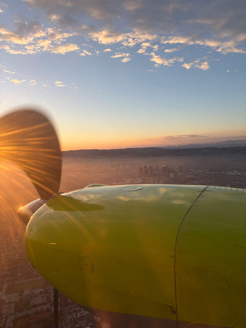
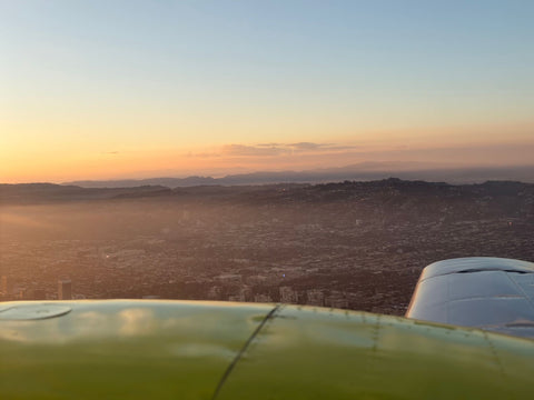
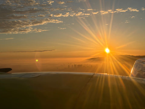
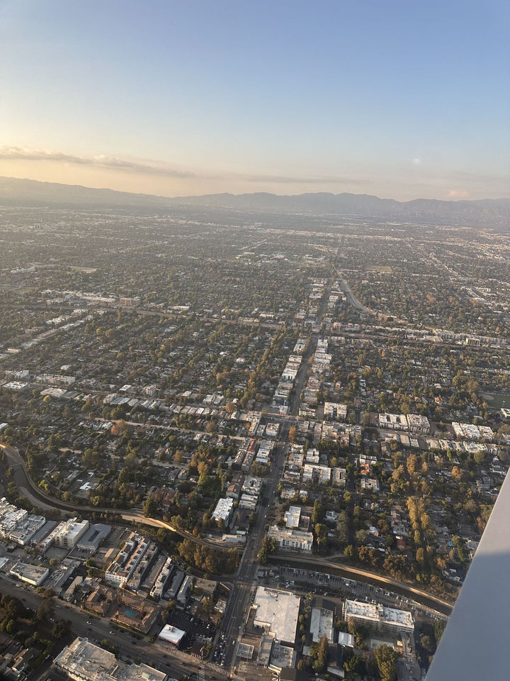
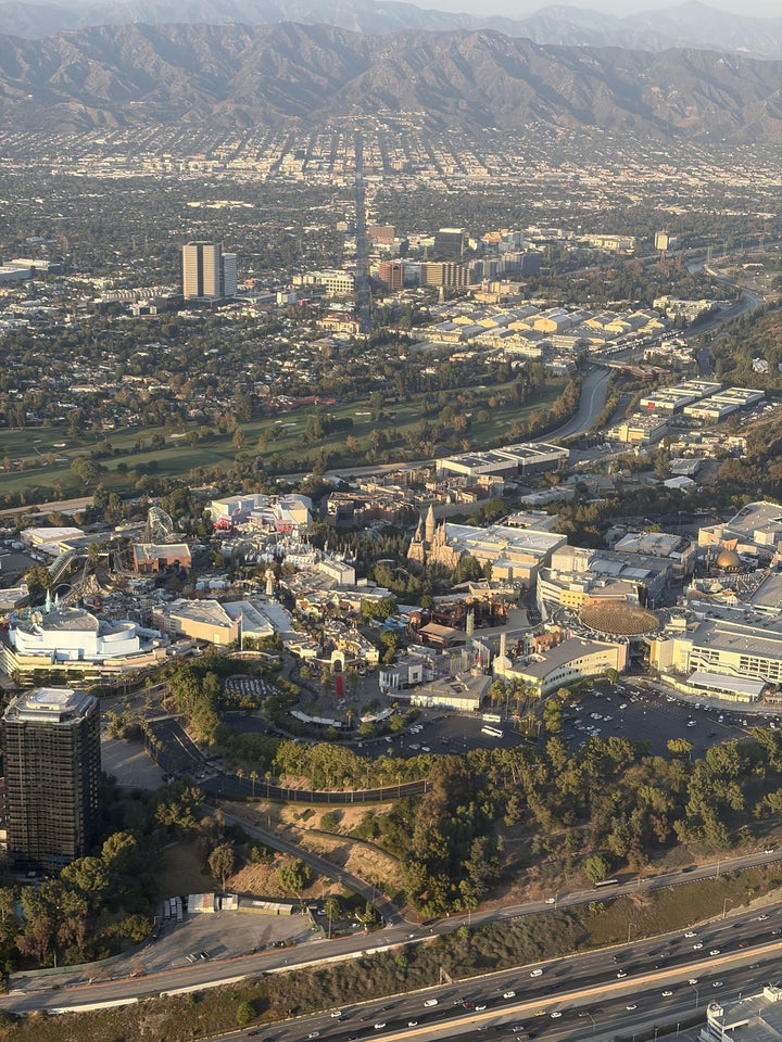
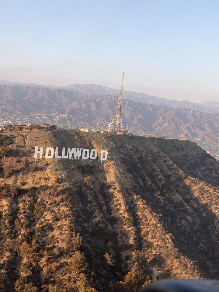
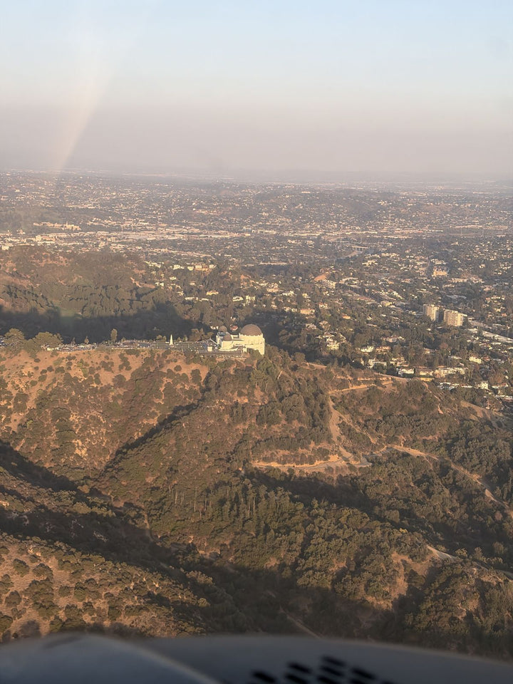
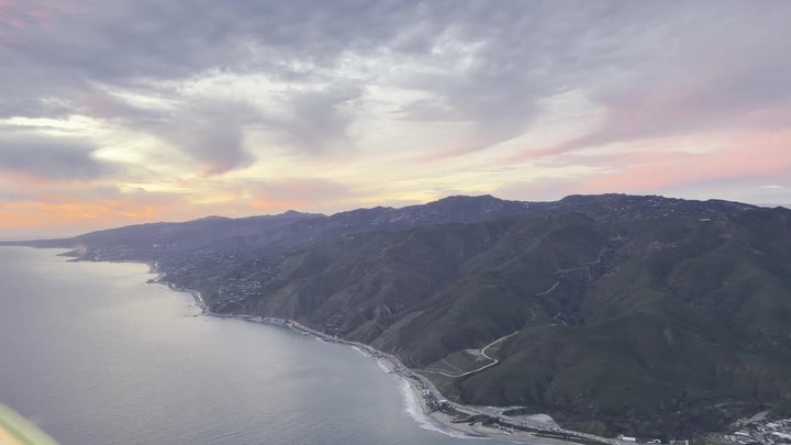
Departing Van Nuys to the west you are across the San Fernando Valley in four or five minutes, over the Santa Monica Mountains a minute later, and above the Conejo shortly after — twenty-four miles direct, twelve or thirteen minutes in a Warrior. Two bowls, one mountain wall, completely different countries.
Boney Mountain is the anchor. The Boney Ridge wall runs along the south side of the valley to Sandstone Peak at about 3,100 feet, the highest point in the Santa Monica Mountains — rugged, broken ground that looks nothing like the rest of the range, and the only reason Newbury Park is not a beach town. Take the ridge away and the ocean is four miles from Dos Vientos.
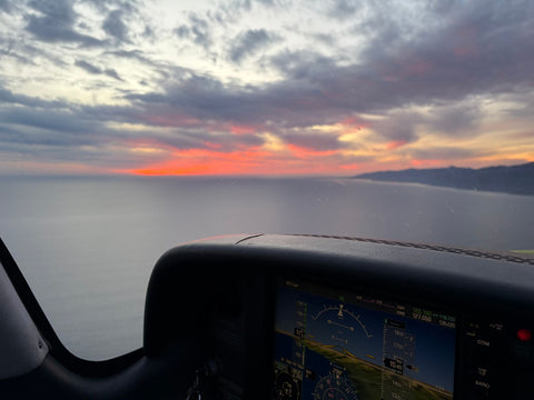
Lake Sherwood and Westlake Lake are the fastest way to orient yourself: Sherwood the natural-looking one tucked back in the hills, Westlake the straight-edged reservoir sitting in the neighborhood with houses to the waterline. Wildwood Regional Park occupies the west side of Thousand Oaks and finally makes sense from above — a flat mesa top with the canyon system dropping away, trails legible as thin pale lines, Paradise Falls hidden in the cut. Further west the Conejo Grade pours the 101 onto the Oxnard Plain, the agriculture beyond laid out in rectangles to the coast at Point Mugu, and on a clear winter afternoon Anacapa and Santa Cruz Island stand up out of the channel.
Programs And Prices
Everything below is the total. Our booking products are not taxable and carry no booking fee, so a $229 discovery flight costs $229 — nothing is added at checkout. That hour has a page of its own: a discovery flight from Thousand Oaks.
| Program | Detail | Price |
|---|---|---|
| Discovery Flight | 60 / 90 / 120 min | $229 / $299 / $399 |
| Discovery Flight For Two — Malibu Coast | 60 / 90 / 120 min | $299 / $399 / $499 |
| Luxury Cirrus SR22 Discovery Flight | 60 / 90 / 120 min | $499 / $649 / $799 ($599 / $849 / $1,049 with a passenger) |
| Private Pilot — Standard | 40 hr | $10,400 |
| Private Pilot — Comprehensive | 60 hr | $15,400 |
| Instrument Rating | rating | $11,700 |
| Multi-Engine Rating | 7 days | $5,100 |
| Cirrus SR22, per hour | aircraft only | $579 package |
| Aircraft, per hour | standard | $179 |
| Instructor, per hour | flight or ground | $110 |
A private pilot certificate needs 40 hours minimum under Part 61 or 35 under Part 141, and most people fly more. For the arithmetic see what flight school costs in Los Angeles; for the certificate itself, private pilot license training. And for the full ladder from student to professional, see pilot school options in Los Angeles.
Making A 32-Minute Drive Work
A two-hour block — brief, fly, debrief — costs about three and a quarter hours door to door from central Thousand Oaks, and because we run until 9:00 PM daily, a 6:00 or 6:30 PM weekday start works well from the eastern Conejo once the evening peak eases. To compress it instead, accelerated flight training trades the weekly commute for one concentrated block.
There is a pleasant symmetry at the end of it. Once you hold the certificate, Camarillo is about fifteen minutes away by air and makes an excellent first cross-country: the airport you did not train at becomes the airport you fly to. And the instrument rating is the one that most changes what your flying is good for here, precisely because of the marine layer.
Frequently Asked Questions
How Far Is Van Nuys Airport From Thousand Oaks?
About 24.0 miles, or roughly 32 minutes. Take the 101 east to the Balboa Blvd exit in Encino, then north on Balboa three miles to 7900 Balboa Blvd. Off-peak it is 30 to 35 minutes; in the weekday peak, 45 to 65.
Is There An Airport Or Flight School In Thousand Oaks?
No. Thousand Oaks, Newbury Park, Westlake Village and Oak Park have no airfield between them. The two realistic options are Van Nuys to the east and Camarillo to the west.
Should I Train At Camarillo Instead Of Van Nuys?
It depends where in the Conejo Valley you live. From Newbury Park, Camarillo is genuinely closer at about thirteen miles against twenty-eight. From Westlake Village and Oak Park, Van Nuys is closer. From central Thousand Oaks, Camarillo is about six miles shorter, but those six miles include the Conejo Grade, and Camarillo sits under the marine layer far more often in May and June.
Do You Serve Newbury Park, Westlake Village And Oak Park?
Yes. We take students from 91320, 91360, 91361, 91362 and 91377, and from Agoura Hills next door. Oak Park has the shortest drive of the group at about twenty miles.
How Long Does It Take To Fly From Van Nuys To Thousand Oaks?
About twelve or thirteen minutes in a Piper Warrior. It is roughly twenty-four miles direct, and you cross the Santa Monica Mountains and are over the Conejo within five or six minutes of takeoff.
What Will I See Over The Conejo Valley From The Airplane?
Boney Mountain and Sandstone Peak on the south wall, Lake Sherwood and Westlake Lake, the mesa and canyons of Wildwood Regional Park, the Conejo Grade dropping onto the Oxnard Plain, and on clear days Anacapa and Santa Cruz Island out in the channel.
Is $229 Really The Total For A Discovery Flight?
Yes. Our booking products are not taxable and we do not add a booking fee, so the listed price is what you pay. Sixty minutes is $229, ninety is $299 and two hours is $399, and the time logs toward your certificate if you continue.
Related Pages
- Flight School In Los Angeles — the metro-wide comparison.
- Van Nuys Airport — the runways, the tower and the Class D airspace.
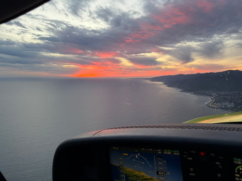
- Discovery Flights In Los Angeles — the routes, including the Malibu coastline run.
- Weather And Cancellation Policy — how we handle marine layer mornings.
- Learn To Fly In Los Angeles — the path stage by stage.
- Flight School Near Simi Valley — the alternative run in over the 118.
- Flight School Near Woodland Hills — where the 101 drops into the Valley.
- Flight School Near West Hills — the first west-Valley community on the way in.
- Service areas around Van Nuys — drive times from every neighborhood we serve.
Book Your First Flight From Thousand Oaks
Drive the 101 east once, mid-morning, and see what you think. We are at 7900 Balboa Blvd, Main Terminal Unit 108, Van Nuys, CA 91406, open 9:00 AM to 9:00 PM every day, and the price on the page is the price you pay.
Book A Discovery Flight — $229 Book A Free Consultation Call (818) 330-1318