




















If you are looking for a flight school near Glendale, the training happens 19.1 miles west at Van Nuys Airport — about 27 minutes on the 134. You Fly LA operates from 7900 Balboa Blvd, Main Terminal Unit 108, Van Nuys, CA 91406. We have no premises in Glendale, and nothing below implies otherwise.
Two closer-to-home options deserve an honest hearing before you read another word. Whiteman Airport in Pacoima is physically nearer to the northern half of the city, and college aviation programs in the region offer a route on an academic calendar. Both are covered below — what each does well, and what neither one gives you.
Glendale is worth writing a page for. At roughly 190,748 residents it is the largest incorporated city other than Los Angeles itself inside a twenty-mile ring around the field, with a median household income near $88,400 — a city big enough and settled enough that a meaningful number of people here have been thinking about a pilot certificate for years without doing anything about it.
The Drive From Glendale To 7900 Balboa Blvd
Nineteen miles across the Valley sounds worse than it drives, because almost all of it is one freeway and the last leg is a straight arterial.
The 134 to the 170 — the route we recommend. From Brand Blvd or Central Ave, get on the 134 west. It runs past Forest Lawn, through Burbank and Toluca Lake, then feeds into the 101 north at Universal City; about a mile later the 170 north splits off to the right. Take it to Sherman Way, go west roughly five miles, then turn north on Balboa Blvd for about half a mile. The reason to prefer this over staying on the 101 is specific: the 170 lets you skip the 101 through Sherman Oaks and the 405 north entirely, which are the two segments that turn a 27-minute drive into a 50-minute one. That stretch of the 134 runs straight through Toluca Lake, and the same drive written from there is on our Toluca Lake flight school page.
The 134 to Victory Blvd. If you would rather be on surface streets sooner, leave the 134 at Hollywood Way or Buena Vista and pick up Victory Blvd westbound. Victory runs continuously to Balboa; turn north and go a mile and a half. Slower off-peak, steadier at 5:30 pm.
If you are up in Montrose, La Crescenta or Sparr Heights, do not drop south into Glendale at all. Take the 210 west to the 118 west and exit Balboa Blvd, then drive south. Balboa is continuous from Granada Hills all the way down past the Sepulveda Basin to the airport's west boundary — about four miles of one road, and it avoids the Verdugo bottleneck completely.
| Starting Point | Route | Distance | Typical Drive |
|---|---|---|---|
| Downtown Glendale (Brand Blvd) | 134 W → 170 N → Sherman Way W → Balboa | 19.1 mi | 27 min off-peak, 40–50 at PM peak |
| Adams Hill / Chevy Chase | 134 W → 101 N → 405 N → Roscoe Blvd W | ~20 mi | 28–35 min |
| Verdugo Woodlands / Glenoaks Canyon | 2 S → 134 W → 170 N → Victory Blvd W | ~21 mi | 30–38 min |
| Montrose / Crescenta Highlands | 210 W → 118 W → Balboa Blvd S | ~22 mi | 26–34 min |
Whiteman, College Programs And Van Nuys
Whiteman Airport (KWHP) sits in Pacoima with a single runway, 12/30, about 4,120 feet long, and a contract control tower. If you live in north Glendale it is a shorter drive.
A college aviation program is a legitimate route to a certificate, and for the right student it is excellent value. It is also a college program, which means it runs on a semester calendar, admits on the college's schedule, and paces you at the speed of an academic term. If you are nineteen, enrolled, and want a commercial certificate as part of a degree, that is a feature. If you are thirty-eight with a job in Burbank and eight free hours a week, it is the wrong shape. We compare that college route with the Part 61 alternative on our Los Angeles aviation school page.
Two other things are worth knowing plainly. Whiteman's one runway is 4,120 feet; Van Nuys has an 8,000-foot main runway and a 4,000-foot parallel, which means you learn parallel-runway operations, side-step instructions and a busier tower frequency as a matter of routine rather than as a field trip. And Whiteman's long-term future is genuinely uncertain — the Los Angeles County Board of Supervisors has directed staff to study what closing the airport would involve. That is not a reason to avoid it today, but it is a fair thing to weigh before committing two years of training to one field.
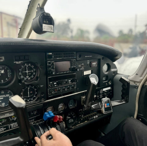
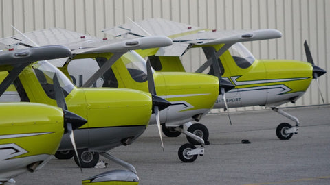
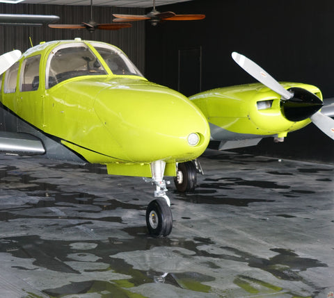
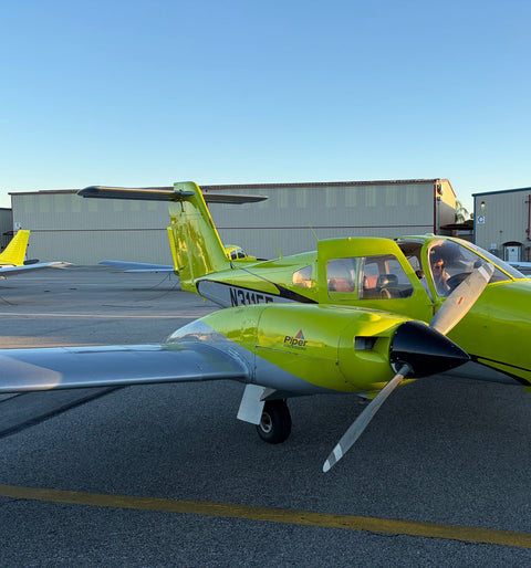
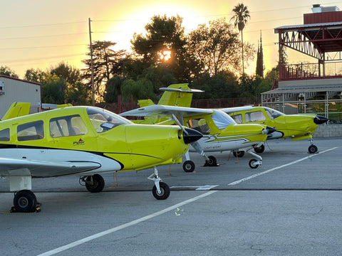
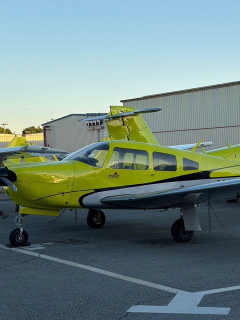
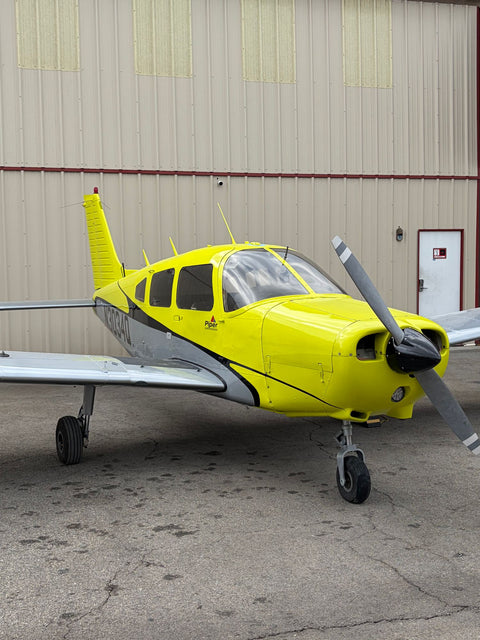
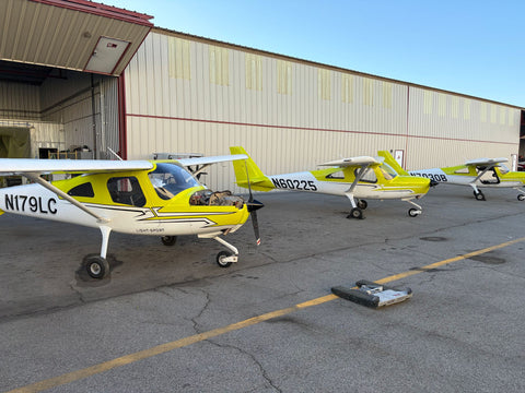
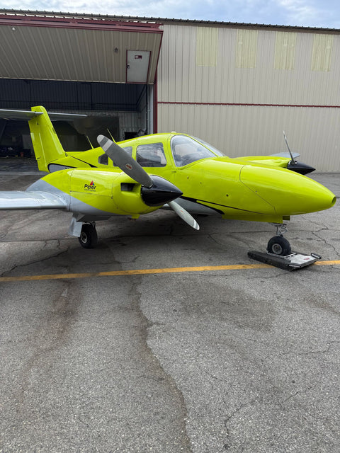
What Van Nuys gives a Glendale student that neither alternative does: a Class D tower-controlled field with radio discipline from lesson one, a fleet deep enough to book twice in a week rather than waiting on one airplane, an FAA-approved Redbird full-motion simulator on site, and published fixed pricing you can read before you call. Our fleet runs Piper Warriors, a Piper Arrow, a Diamond DA20-C1, a Cessna 162, a Piper Seminole and a Cirrus SR22T — so the airplane you start in is not the airplane you are stuck in.
What Glendale Looks Like From 2,500 Feet
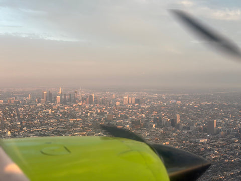
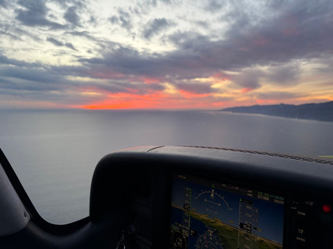
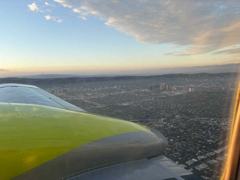
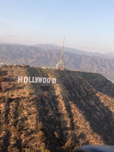
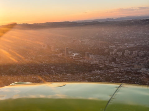
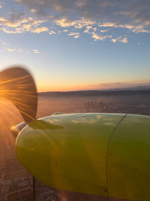
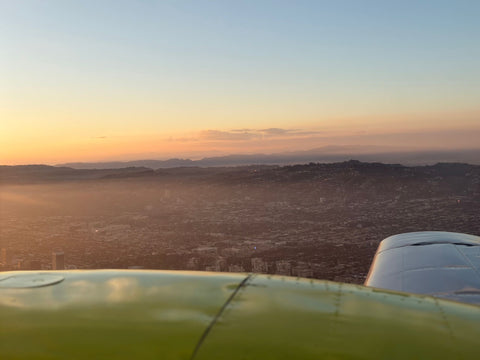
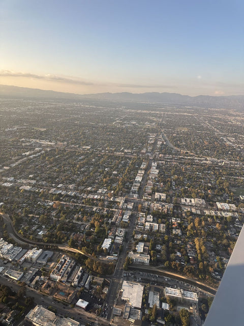
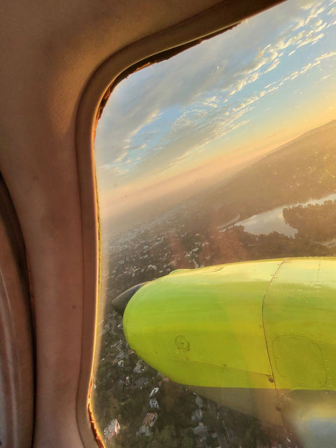
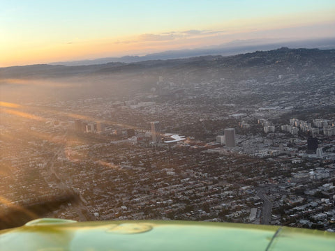
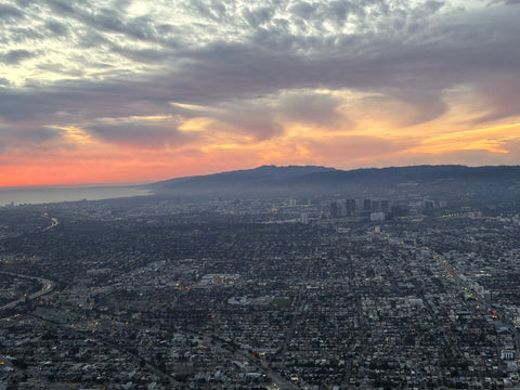
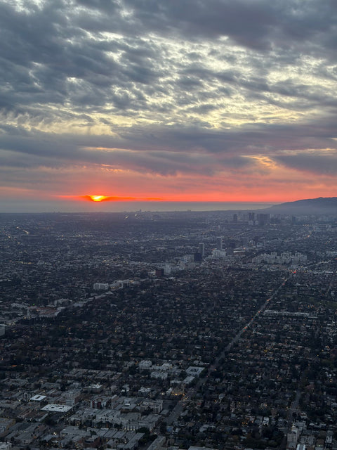
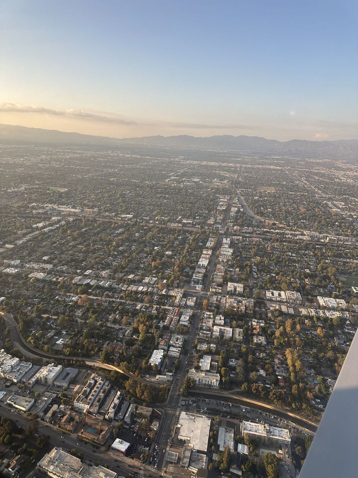
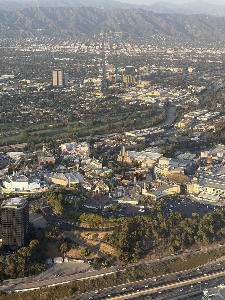
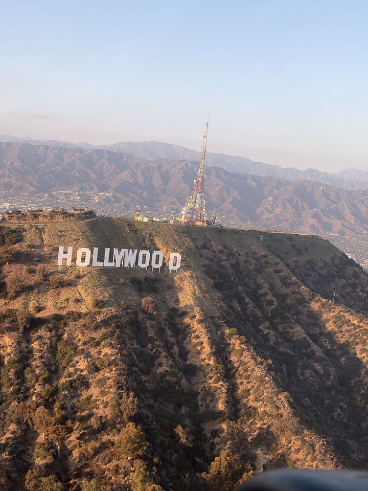
A Van Nuys departure that turns east puts Glendale under the wing within eight or nine minutes, and the city reads better from the air than almost any of its neighbors because its geography is so legible.
The Verdugo Mountains are the organizing fact. From the ground they are the thing your street ends at; from 2,500 feet they resolve into a distinct range with Verdugo Peak at about 3,126 feet, La Tuna Canyon cutting the western end, and the San Gabriels stacked behind. You can see for the first time exactly why Glendale is shaped the way it is — the city fills the bowl the Verdugos make.
Brand Park and the Brand Library sit right at the foot of the range, the white Moorish building unmistakable against the chaparral. Forest Lawn reads as an enormous rolling green rectangle on the southwest edge — from above it is obviously the largest single piece of open ground in the city. Just past it the Los Angeles River corridor runs through the Glendale Narrows, one of the few soft-bottom stretches, so it appears as a green ribbon rather than a concrete channel.
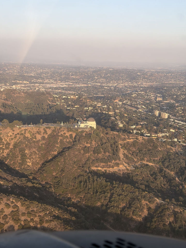
South of that, Griffith Park is a single vast green mass with the Observatory on its southern rim, catching afternoon light. One airspace note, because your instructor will mention it: Hollywood Burbank's Class C airspace sits between Van Nuys and Glendale, so the eastbound route either stays clear of Burbank's Class C or talks to approach control first. Either way it is a useful ten minutes of radio work, not a detour.
Neighborhoods And ZIP Codes
Students come to us from across the city and the Verdugo foothills: Northwest Glendale, Rossmoyne, Vineyard and Grandview (91201, 91202, 91203, 91206, 91207), Adams Hill and Tropico (91204, 91205), Verdugo Woodlands, Glenoaks Canyon and Chevy Chase Canyon (91206, 91208), plus the Montrose (91020) and Crescenta Highlands (91214) edges of the city.
Glendale Program Prices
Every figure below is the published price. Booking runs through our own system, nothing is shipped and nothing is taxed — no tax, no booking fee, $229 is the total on a 60-minute discovery flight. That first hour is written up on its own page: a discovery flight from Glendale.
| Program | Notes | Price |
|---|---|---|
| Discovery Flight (60 / 90 / 120 min) | One session, you fly it | $229 / $299 / $399 |
| Full-Motion Simulator, 60 min | No weather cancellation, good for a first weeknight | $189 |
| Free In-Person Consultation | Worth the drive once before you commit | $0 |
| Sport Pilot | 20 hr FAA minimum | $8,400 |
| Private Pilot — Standard | 40 hr, Part 61 minimum | $10,400 |
| Private Pilot — Comprehensive | 60 hr | $15,400 |
| Instrument Rating | After Private | $11,700 |
| Commercial Pilot | 250 hr total time required | $15,400 |
| Aircraft / Instructor, Per Hour | Pay-as-you-go alternative | $179 / $110 |
If you would rather compare the total cost of a certificate against the pay-as-you-go route, we break it down on flight school cost in Los Angeles, and flight training financing covers how people actually pay for it. For the certificate itself, start with the private pilot license.
Scheduling Around The Drive
Two practical points for Glendale specifically. First, book longer blocks less often. A two-hour block that yields 1.3 hours of flight time is worth a 27-minute drive; a 45-minute lesson is not, and students who try to squeeze those in stop coming. Second, the marine layer works in your favor on this side of town — in May and June the coast can be socked in until noon while the east Valley is clear by nine, so morning slots from Glendale are more reliable than the calendar suggests. We are open 9 AM to 9 PM, seven days.
Frequently Asked Questions
How Far Is Van Nuys Airport From Glendale?
About 19.1 miles and roughly 27 minutes off-peak. The best route is the 134 west, onto the 101 north briefly, then the 170 north to Sherman Way and west to Balboa Blvd. At weekday evening peak, budget 40 to 50 minutes.
Is Whiteman Airport A Better Option For Glendale Residents?
It is closer if you live in the northern half of the city. It has one runway, 12/30, about 4,120 feet, and the Los Angeles County Board of Supervisors has directed staff to study what closing the airport would involve. Van Nuys has an 8,000-foot main runway and a 4,000-foot parallel, a deeper fleet and a full-motion simulator on site.
How Does You Fly LA Compare To A College Pilot Program?
A college aviation program is a real route to a certificate, but it runs on an academic calendar, with admission and pacing set by the semester. We are a Part 61 school open 9 AM to 9 PM seven days with published fixed pricing, so you set your own pace rather than a semester setting it for you.
Can I See Glendale From The Airplane On A Discovery Flight?
Ask for it when you book. An eastbound route from Van Nuys shows you the Verdugo Mountains, Brand Park, Forest Lawn, the Los Angeles River through the Glendale Narrows, and Griffith Park with the Observatory on its southern rim. Hollywood Burbank's Class C airspace sits in between, so your instructor either stays clear of Burbank's Class C or talks to approach control first.
What Does It Cost To Start Flight Training From Glendale?
A 60-minute discovery flight is $229, with no tax and no booking fee — $229 is the total. Private Pilot Standard is $10,400, Sport Pilot is $8,400, and an in-person consultation at the airport is free.
Do You Have A Flight School Location In Glendale?
No. We operate only from Van Nuys Airport at 7900 Balboa Blvd, Main Terminal Unit 108, Van Nuys, CA 91406. We serve Glendale residents; we are not based there.
When Is The Best Time Of Day To Drive Over From Glendale?
Mornings and mid-day. In May and June the marine layer often clears the east Valley by nine while the coast stays gray, so early slots from Glendale are more reliable than they look. Avoid arriving between 4:00 and 6:30 pm, when the 101 and 405 add twenty minutes.
Related Pages
- Flight Training At Van Nuys Airport — the field, the Class D pattern and what a week of training looks like.
- Flight School Near Burbank — the neighboring city, and Class C procedures at KBUR.
- Flight School Near Pasadena — further east on the same 134 corridor.
- Part 61 vs Part 141 Flight School — the difference that decides which program suits you.
- Discovery Flights In Los Angeles — every route and duration we fly.
- Flight School In Los Angeles — how the metro’s training fields compare.
- Flight School Near La Cañada Flintridge — the same 210 corridor, one exit north.
- Flight School Near Studio City — over the hill and into the Valley.
- Service areas around Van Nuys — drive times from every neighborhood we serve.
Book Your First Flight
Anyone who has driven Glenoaks with the Verdugos on one shoulder has looked up at a light aircraft turning toward Burbank and wondered. Twenty-seven minutes west is the answer. Book a discovery flight, or come out for a free consultation and walk the ramp first — most Glendale students do the consultation before they book anything.
Book A Discovery Flight — $229 Book A Free Consultation Call (818) 330-1318
You Fly LA · 7900 Balboa Blvd, Main Terminal Unit 108, Van Nuys, CA 91406 · Van Nuys Airport (KVNY) · Open 9 AM – 9 PM, seven days.