
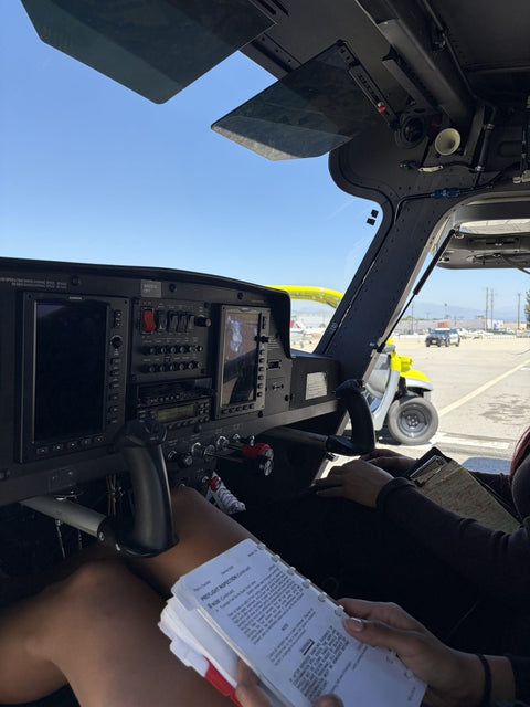
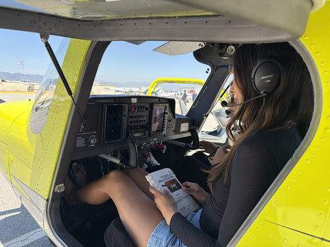


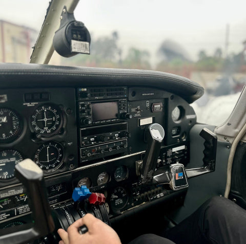
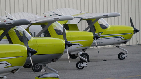


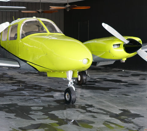

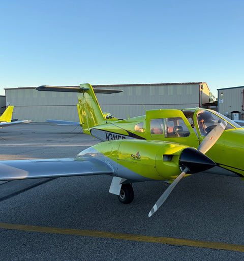


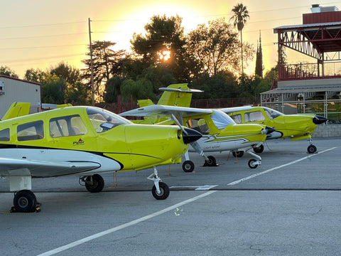
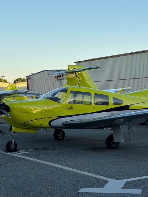
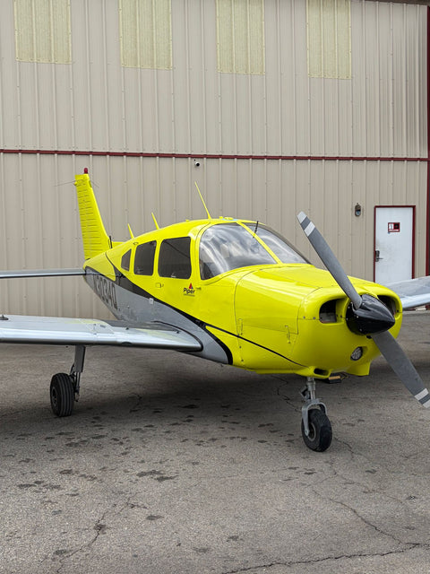













Woodland Hills has no airfield, so residents who want flying lessons drive about nine miles east across the valley floor to Van Nuys Airport, where You Fly LA operates from 7900 Balboa Blvd, Main Terminal Unit 108, Van Nuys, CA 91406. There is no canyon, no pass and no hill in between — it is a flat, straight run, and that is the single biggest reason west-valley students end up here rather than at Camarillo or Santa Monica.
Comparing options across the whole region first? Our Los Angeles flight school guide covers the metro tier; this page is about the west valley specifically. The neighboring communities on this side each have their own page: West Hills, Tarzana, Calabasas and Chatsworth. North of Vanowen there is flight school in Canoga Park and flight school in Winnetka, and west along the 101, flight training in Agoura Hills.

The Route From Woodland Hills
From the Topanga Canyon Blvd and Ventura Blvd area, there are two clean options and both are genuinely easy.
Freeway then Balboa. Take the 101 eastbound about six miles and exit at Balboa Blvd in Encino. Turn left and go north on Balboa. Balboa runs continuously from the 101 up through Encino, straight through the Sepulveda Basin past Lake Balboa, across Victory, Vanowen and Sherman Way, and arrives at the west boundary of Van Nuys Airport. Total about nine miles. 18 to 24 minutes off-peak; 28 to 38 minutes when the 101 eastbound stacks up in the morning.
Straight across on Victory or Vanowen. Victory Blvd runs east from Woodland Hills through Warner Center and Reseda all the way to Balboa; so does Vanowen a block north. Turn north on Balboa and you are there. No freeway at all: 22 to 30 minutes most of the day, and it barely changes in rush hour, which is the point. If you are booking a 5 pm lesson, take Victory and stop thinking about it. Reseda sits on that same run, and the drive from there is written up as flying lessons near Reseda.
One thing worth knowing: Balboa Blvd through the Sepulveda Basin is a park road with a lower speed limit and occasional flood-gate closures after heavy winter rain. If Balboa is shut at the basin, Victory Blvd east to Woodley Ave and north is the standard detour.
The West Valley From The Air
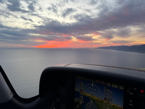
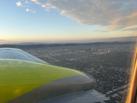
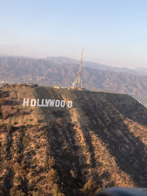
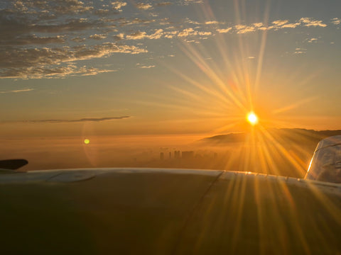
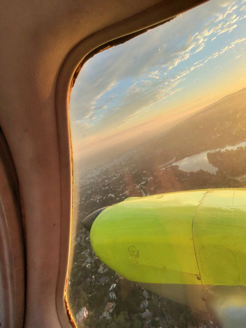
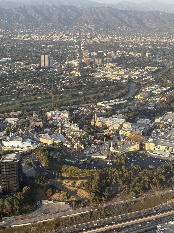
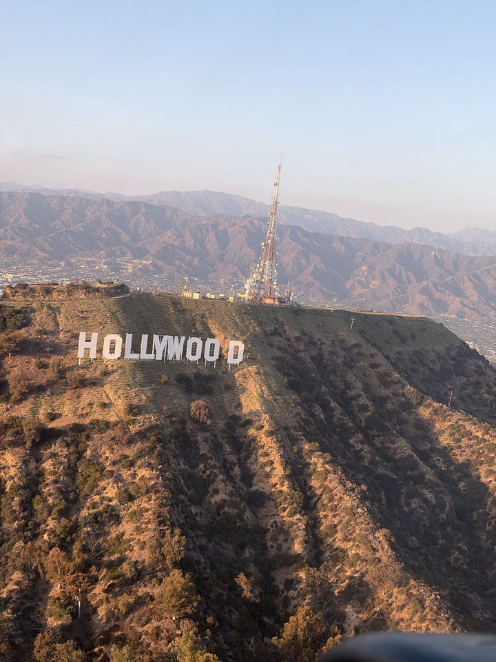
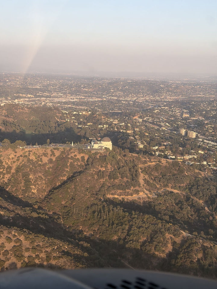
Departures to the west or north-west from Van Nuys put Woodland Hills students over terrain they know from the freeway but have never seen laid out flat.
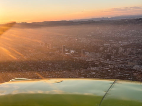
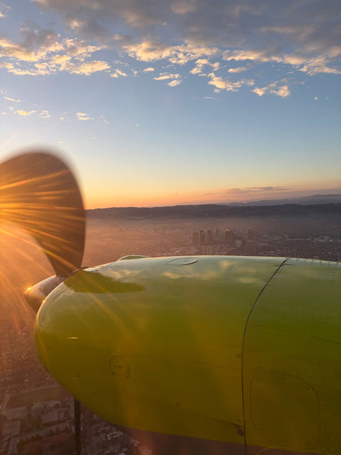
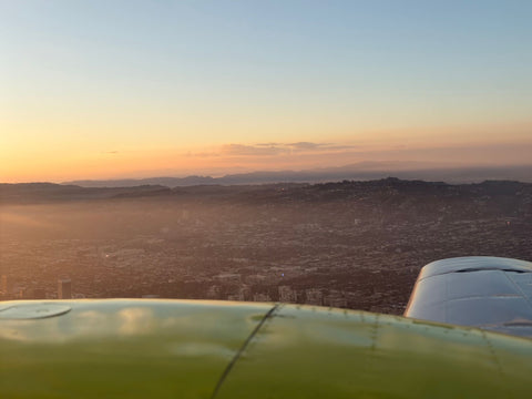
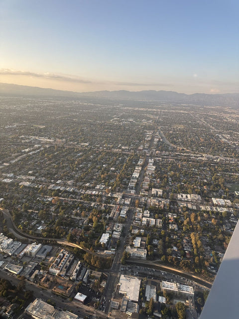
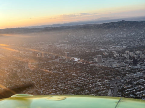
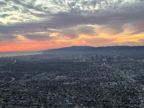
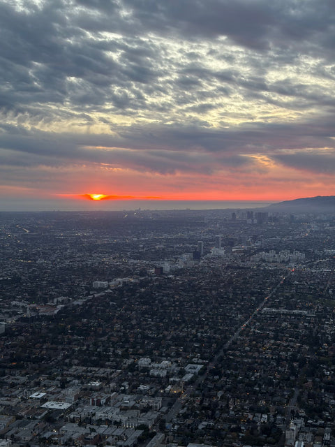
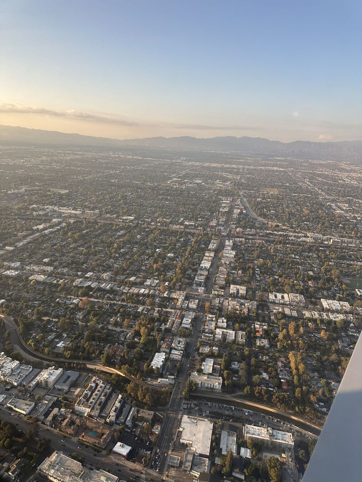
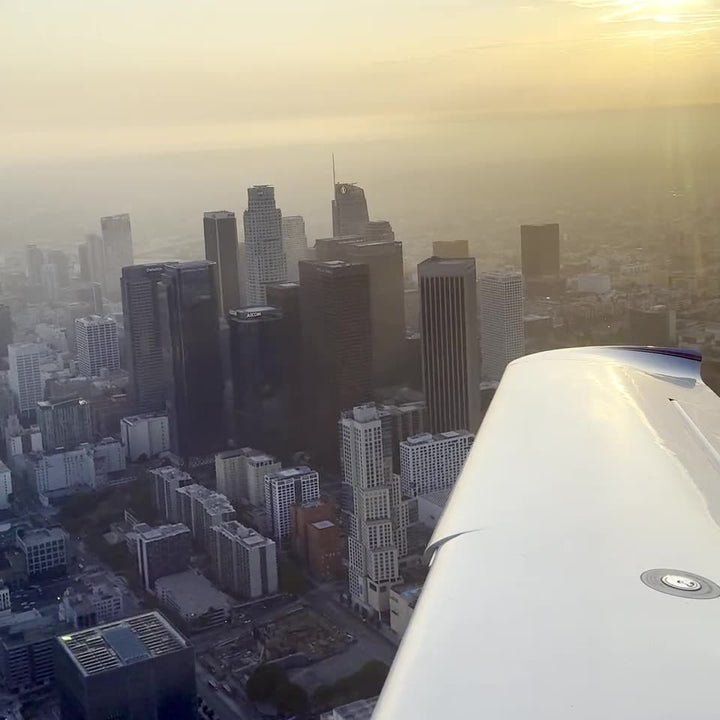
The obvious landmark is Warner Center — the cluster of high-rises at Topanga and Oxnard is the only genuine skyline in the west valley, and from three thousand feet it looks like a small downtown dropped into a grid of low-rise blocks. From up there you can finally see how the Valley's street grid works: perfectly rectangular, running to the base of the mountains on three sides and stopping dead.
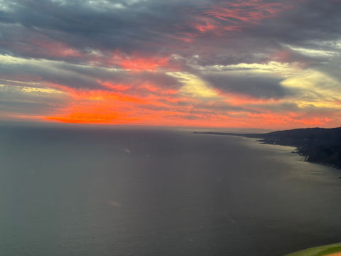
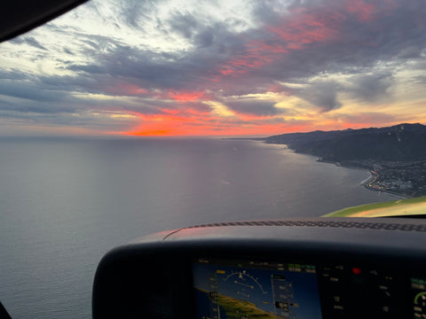
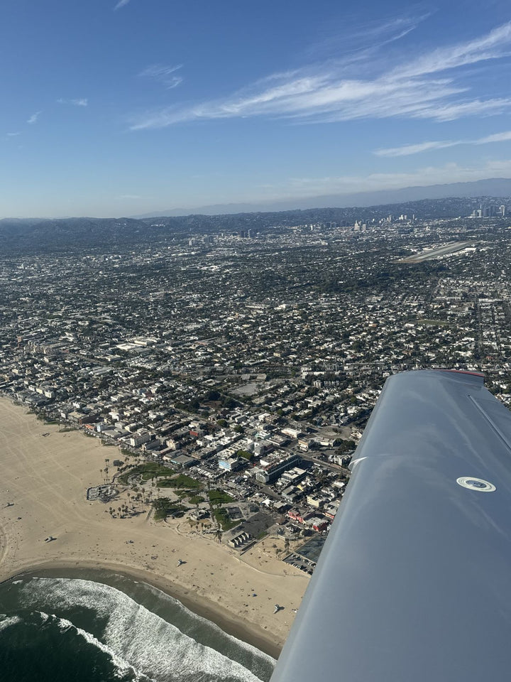
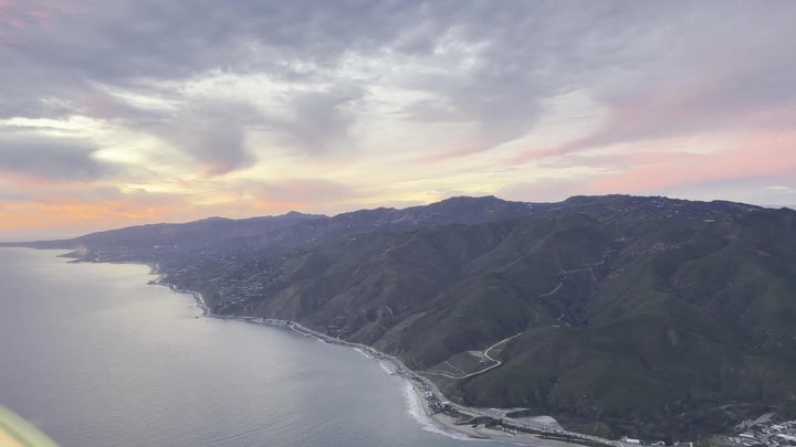
North of you are the Santa Susana Mountains and, closer in, the Simi Hills — brown, folded, undeveloped, with Chatsworth tucked against their base and the Chatsworth Reservoir basin visible below the rock formations. The contrast is stark: dense grid on one side of a line, empty ridge on the other. To the south, the Santa Monica Mountains run west toward Calabasas and Malibu, and on a clear day you can see across them to the ocean.
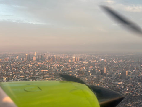
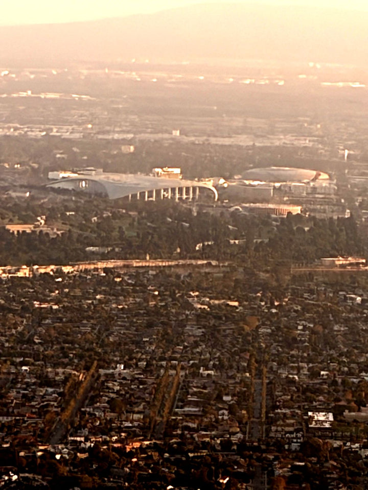
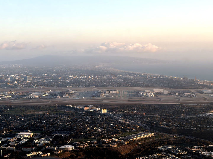
Looking back east, the whole Valley opens up in one frame, with Van Nuys Airport's two parallel runways sitting in the middle of it. Most students are surprised how small the airport looks and how large the Sepulveda Basin does.
Why Woodland Hills Residents Choose Van Nuys
Distance-wise, Camarillo and Santa Monica are the other candidates. Camarillo is thirty-plus miles west over the Conejo Grade and is an hour each way in traffic. Santa Monica means crossing the Santa Monica Mountains and dealing with Westside congestion for what is a similar straight-line distance. Van Nuys is the only field that a Woodland Hills resident can reach without leaving the Valley floor.
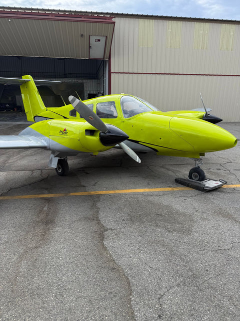
The second factor is that Van Nuys is the busiest general aviation airport in the region, and that busyness is a training asset rather than a nuisance. More instructors, more airplanes, more maintenance capacity, and a control tower that gives you real radio work from your very first lesson. A quieter uncontrolled field is easier at the start and worse for you later, because you will still have to learn towered operations before your checkride. Which of those trade-offs matters most to you is the subject of our guide to which flight school in Los Angeles fits you. If the first hour is what you are after rather than the whole course, see a discovery flight from Woodland Hills.
Booking Around West-Valley Heat
Woodland Hills is reliably one of the hottest parts of Los Angeles County in summer, and that has a direct effect on flying. Hot air is thinner, so the airplane climbs worse, the takeoff roll is longer and the density altitude is higher. It is a real performance planning topic — 14 CFR 91.103 requires you to know your aircraft's takeoff and landing distances before every flight — and mid-afternoon in August at Van Nuys is where you learn it for real.
Practically: from June to September, prefer a morning lesson. The air is smooth, the density altitude is manageable and the visibility is better before the haze builds. From October to May, afternoons are excellent and often the best flying of the year. We are open 9:00 AM to 9:00 PM daily, so both are available. Our overview of flight training programs in Los Angeles sets out the hour blocks each certificate needs.
Where Your Training Flights Actually Go
A common west-valley question is whether you spend the whole course going round and round the airport. You do not. Roughly the first fifteen hours are split between the traffic pattern at Van Nuys and a practice area, and for students departing to the west that practice area is usually the airspace over the north-west valley and out toward the Santa Susanas — open, lightly trafficked, and close enough that you are not burning billed time getting there.
After that, cross-country work begins, and the west valley is well placed for it. Camarillo, Oxnard and Santa Paula all sit within the fifty-nautical-mile straight-line distance that 14 CFR 61.109(a)(5) requires for the long solo cross-country, and the route out over the Simi Valley and the Conejo grade is one of the more scenic legs a student pilot in Southern California gets to fly. Santa Barbara is a common first big trip once the certificate is done.
Prices

| Item | Detail | Price |
|---|---|---|
| Discovery Flight | 60 / 90 / 120 min | $229 / $299 / $399 |
| Discovery Flight For Two | 60 / 90 / 120 min | $299 / $399 / $499 |
| Flight Simulator Session | 60 min | $189 |
| Sport Pilot | certificate | $8,400 |
| Private Pilot — Standard | certificate | $10,400 |
| Aircraft rate, per hour | standard | $179 |
| Diamond DA20, per hour | — | $229 |
| Ground instruction, per hour | — | $110 |
Frequently Asked Questions
What Is The Closest Flight School To Woodland Hills?
Van Nuys Airport, about nine miles east. There is no airfield in Woodland Hills or Warner Center, and Van Nuys is the only training airport reachable without leaving the valley floor.
Is Balboa Blvd The Best Way To Get There?
From the 101, yes — exit Balboa and go north through the Sepulveda Basin. If Balboa is closed at the basin after heavy rain, use Victory Blvd east to Woodley Ave and turn north.
Why Not Train At Camarillo Or Santa Monica Instead?
Camarillo is thirty-plus miles over the Conejo Grade; Santa Monica means crossing the mountains into Westside traffic. Both turn a lesson into a half-day. Van Nuys keeps it to an evening.
Does Summer Heat Affect Flying Lessons In The West Valley?
Yes. High temperatures raise density altitude, which lengthens the takeoff roll and reduces climb performance. Morning lessons are smoother and better performing from June through September.
What Will I See Over Woodland Hills On A First Flight?
Warner Center's high-rises, the Simi Hills and Santa Susana Mountains to the north, Chatsworth against the rocks, and the Santa Monica Mountains running west toward Malibu.
Can I Do A Simulator Session Instead Of Flying First?
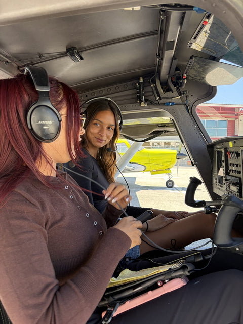
Yes. A 60-minute full-motion simulator session is $189 and is a reasonable way to try the controls if you are nervous about the first flight, though it does not replace time in the airplane.
Related Pages
- Flight School In Los Angeles — the metro-wide comparison.
- Flight Training At Van Nuys Airport — the airport, its runways and its airspace.
- Learn To Fly In Los Angeles — what the training process actually looks like.
- Book A Discovery Flight — your first hour at the controls.
- Full-Motion Flight Simulator — the $189 sixty-minute session.
- Service areas around Van Nuys — drive times from every neighborhood we serve.
Book Your First Flight
Nine flat miles east of Topanga Canyon Blvd, there is an airplane you can fly today. Book a discovery flight online, or call (818) 330-1318 to talk it through first. We are at 7900 Balboa Blvd, Main Terminal Unit 108, Van Nuys, CA 91406, open 9:00 AM to 9:00 PM every day of the week.