




















The practical answer for anyone searching for a flight school near Pasadena is Van Nuys Airport: 24.7 miles, roughly 33 minutes, and — unusually for Los Angeles — a single freeway the entire way. You Fly LA operates from 7900 Balboa Blvd, Main Terminal Unit 108, Van Nuys, CA 91406. We are not based in Pasadena and nothing here suggests we are.
Twenty-five miles is a real commitment and we are not going to pretend otherwise. What follows is the case, with the numbers that support it, including an honest look at the airport that is closer to you on a map.
Pasadena is about 136,969 people with a median household income near $105,200, and this page also serves Altadena, South Pasadena and Sierra Madre. It is a city with Caltech at its center and JPL at its northern edge, which means a large share of the people reading this will want to see the syllabus, the aircraft equipment list and the simulator specification before they care about the view. That is the order we have written it in.
The 134 Is The Whole Route
From almost anywhere in Pasadena the drive is: get on the 134 west, stay on it. The Ventura Freeway starts at the 210 in east Pasadena, runs through Eagle Rock and Glendale and Burbank, and becomes the 101 north at Universal City. That is 24.7 miles and about 33 minutes off-peak, with two sensible endings.
Ending A — the 170. Where the 134 merges into the 101 north, take the 170 north a mile later, exit Victory Blvd or Sherman Way, and run west to Balboa. This is the version to use on a weekday, because it steps around the 101 through Sherman Oaks and the 405 north — the two segments responsible for nearly all the variance in this drive.
Ending B — the 405. Stay on the 101 north to the 405 north and exit Roscoe Blvd west. Cleaner on a Sunday morning, noticeably worse between 4 and 7 pm.
From Altadena, come down Lake Ave or Fair Oaks to the 210 west and join the 134 at the interchange. From South Pasadena, the 110 north to the 134 west adds about two miles. From Sierra Madre, the 210 west is the only sensible start and adds five to seven minutes to everything below.
El Monte Is Closer On A Map. Here Is The Honest Comparison.
San Gabriel Valley Airport (KEMT) in El Monte is about a dozen miles from central Pasadena and it is a perfectly real general aviation field — Los Angeles County has operated it since 1944, and around 93 aircraft are based there. If mileage were the only variable it would win.
Mileage is not the variable that matters. The El Monte run means the 210 east to the 605 south to surface streets, and it crosses the San Gabriel Valley's worst commuter geometry at exactly the hours most people take lessons. For most of Pasadena that is a slow trip — frequently close to fifty minutes on a weekday, for a drive that measures half the distance of the 134 to Van Nuys. A 24.7-mile freeway run that reliably takes 33 minutes beats a 12-mile arterial crawl that might take fifty. Look at your own commute if you doubt it.
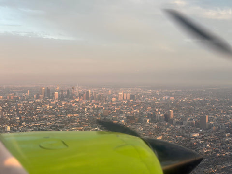
Then compare the fields. KEMT has one runway, 1/19, at 3,995 by 75 feet. Van Nuys is a Class D field with an 8,000-foot main runway and a 4,000-foot parallel, which means parallel-runway operations, sidestep clearances and a genuinely busy tower frequency are part of your normal training rather than something you drive somewhere else to experience. It also sits beneath Hollywood Burbank's Class C, just north of the LAX Class B, so the airspace you learn to read is the airspace that actually complicates flying in this basin.
| Van Nuys (KVNY) | El Monte (KEMT) | |
|---|---|---|
| Distance from central Pasadena | 24.7 mi | ~12 mi |
| Typical drive | ~33 min, one freeway | Often close to 50 min on a weekday |
| Route | 134 W → 170 N → Victory Blvd W | 210 E → 605 S → surface streets |
| Runways | ~8,000 ft main, ~4,000 ft parallel | One runway, 1/19, 3,995 × 75 ft |
| Airspace | Class D, beneath the Burbank Class C | General aviation reliever field |
What You Actually Train In
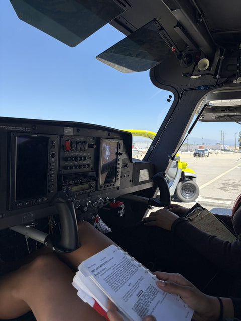
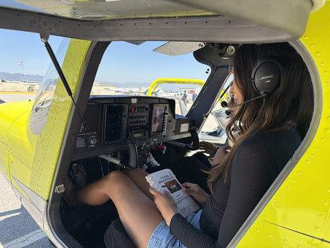
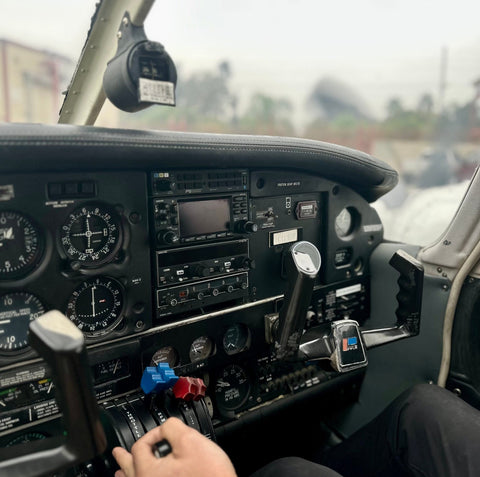
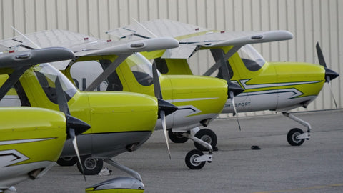
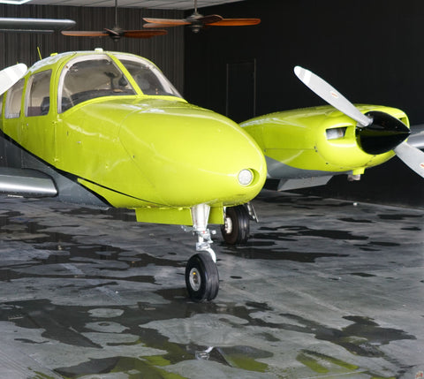
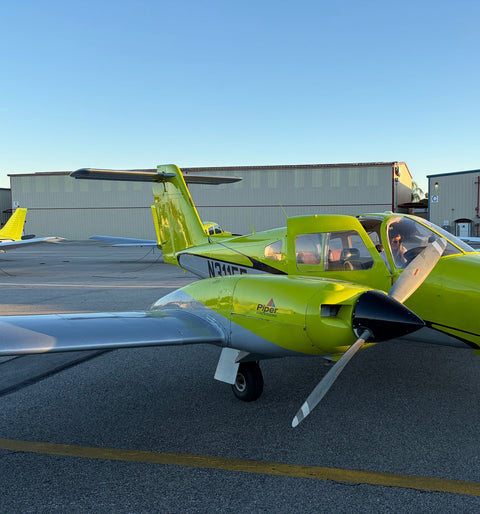
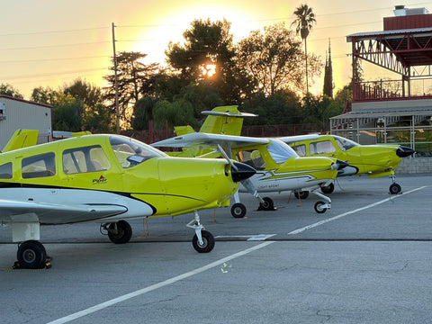
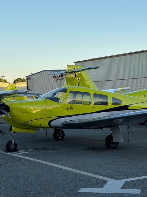
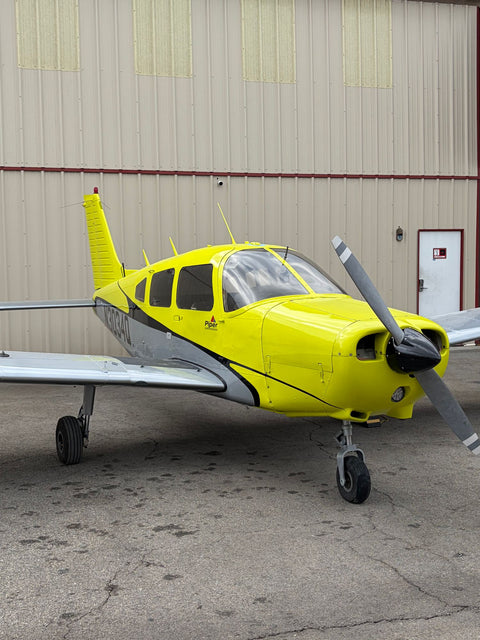
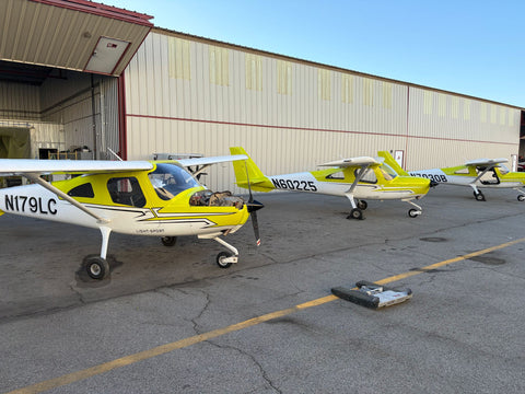
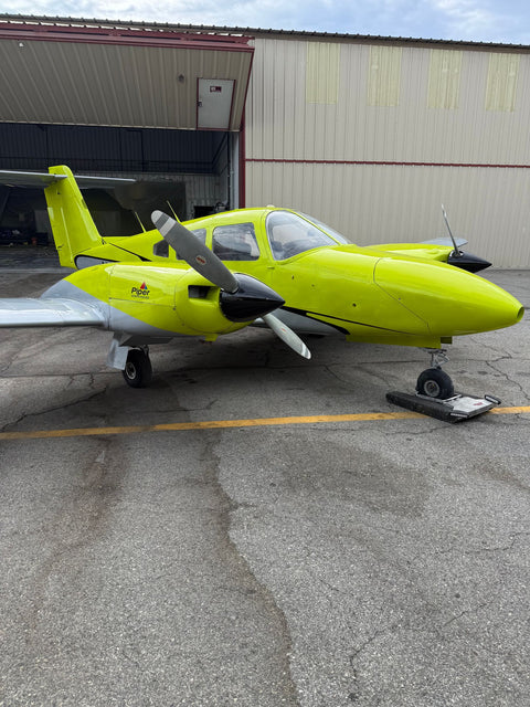
For the reader who wants the equipment list first: the fleet is a Piper Warrior PA-28-161 for primary work, a Piper Arrow for complex time, a Diamond DA20-C1, a Cessna 162 Skycatcher, a Piper Seminole for the multi-engine rating, and a glass-panel Cirrus SR22T. If you want to do your whole certificate in the Cirrus, that is a defined program — see Cirrus training in Los Angeles.
The Redbird full-motion simulator is the piece Pasadena students tend to care about most, and correctly. It is an FAA-approved AATD, which means time in it is loggable toward the instrument rating within the limits your instructor will walk you through, and it costs $120 an hour against $179 for the aircraft. More usefully, it is the only place you can fail an approach, reset, and fly it again ninety seconds later. For an instrument rating at $11,700, hours spent drilling holds and partial-panel scans on the ground rather than on the Hobbs meter are the single largest cost lever you control.
On the paperwork side: we are a Part 61 school, which matters for pacing rather than quality — the FAA minimum for Private is 40 hours under Part 61 and 35 under Part 141, and almost nobody finishes at either number. Our Part 61 vs Part 141 breakdown explains which one suits a working professional. The written exam is a separate, self-paced piece of work; see the private pilot written exam. If you are weighing an academic aviation program against flying with us, our Los Angeles aviation school page sets the two side by side.
One Number Every Engineer In Pasadena Should Know
Van Nuys sits at about 802 feet of field elevation. On a 100°F August afternoon — which this basin produces reliably — density altitude at the field runs close to 4,000 feet. That is not trivia. It changes your takeoff roll, your climb rate and your go/no-go decision on a hot day with two people and full fuel, and it is one of the first real performance calculations you will do rather than read about. Pasadena students who arrive with an engineering habit of mind tend to enjoy this part of training more than anyone else, and they get through the performance-planning material faster.
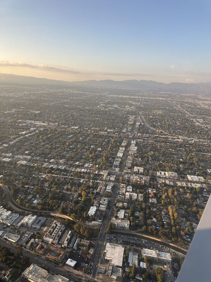
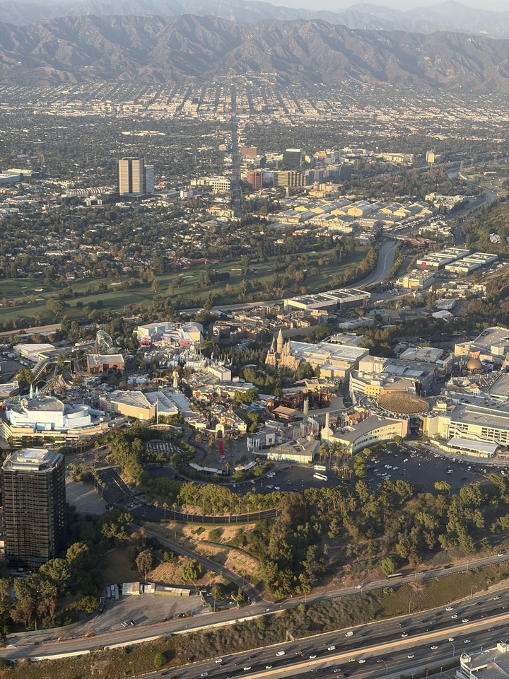
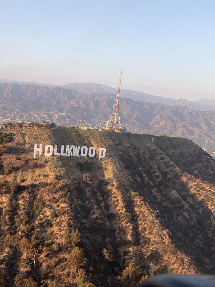
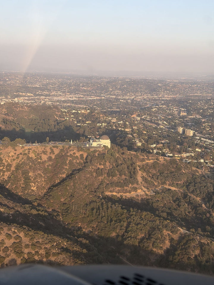
Pasadena From The Cockpit
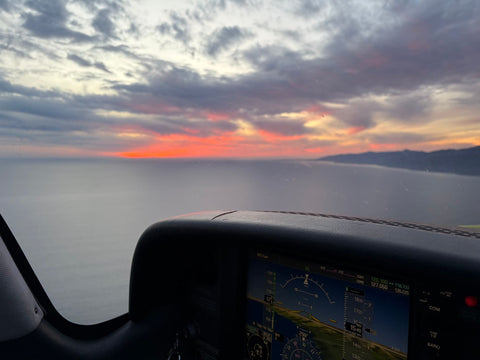
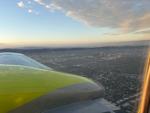
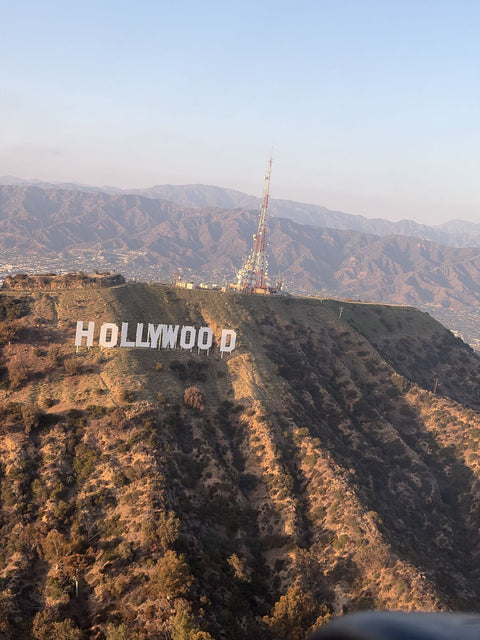
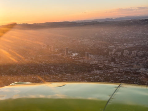
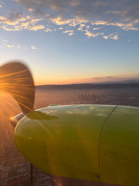
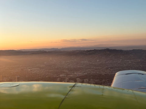
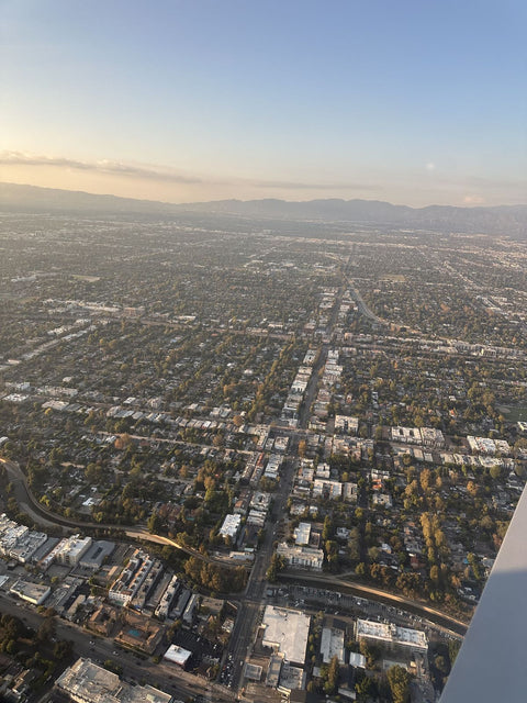
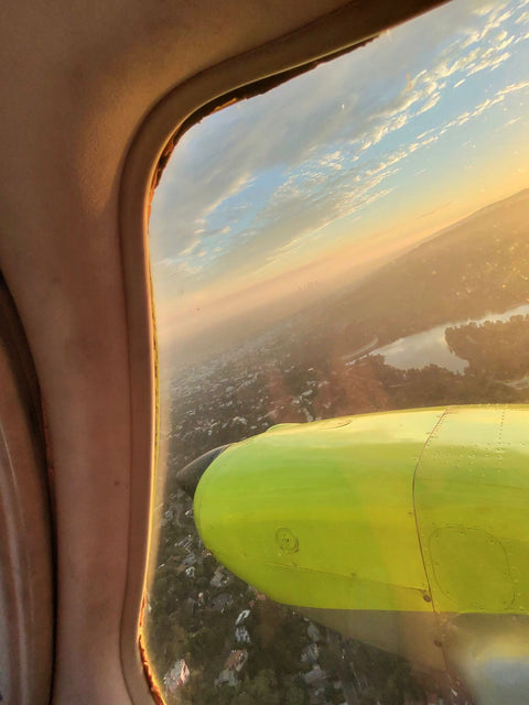
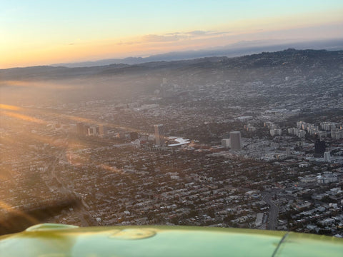
Turn east out of Van Nuys and the San Gabriels do the work. They rise straight out of the north Pasadena street grid with no foothill transition, and from 3,500 feet the relationship between the mountains and the Arroyo Seco finally makes sense — the Arroyo is obviously a drainage off the range, Devil's Gate sits at the top of it, and the Rose Bowl is a perfect white oval dropped into the canyon floor.
The Colorado Street Bridge is the surprise. Its arches are invisible from above but the curve of the deck across the Arroyo is unmistakable, and it lines up with Old Pasadena's tight low-rise grid to the east. Caltech reads as a compact block of olive-green quads and pale buildings south of Colorado, and JPL sits where the Arroyo meets the mountains, a dense cluster of institutional buildings against the forest boundary. Hollywood Burbank's Class C airspace lies between Van Nuys and Pasadena, so the eastbound route either stays clear of Burbank's Class C or talks to approach control first — ten minutes of real radio work either way.
Neighborhoods And ZIP Codes
We fly with students from across 91101, 91103, 91104, 91105, 91106 and 91107 — Old Pasadena and the Playhouse District, Bungalow Heaven, Hastings Ranch, San Rafael and Linda Vista, plus the Caltech campus at 91125. Beyond the city line: Altadena (91001), South Pasadena (91030) and Sierra Madre (91024).
Pasadena Program Prices
These are the published prices. Nothing is shipped, nothing is taxed and there is no booking fee — $229 is the total for a 60-minute discovery flight. That hour has its own page: a discovery flight from Pasadena.
| Program | Notes | Price |
|---|---|---|
| Discovery Flight (60 / 90 / 120 min) | Logged toward your certificate | $229 / $299 / $399 |
| Full-Motion Simulator, 60 min | FAA-approved AATD, weather-proof | $189 |
| Private Pilot — Standard | 40 hr Part 61 minimum | $10,400 |
| Private Pilot — Comprehensive | 60 hr, the realistic number for most | $15,400 |
| Instrument Rating | Where simulator time pays for itself | $11,700 |
| Commercial Pilot | 250 hr total time required | $15,400 |
| Multi-Engine Rating | 7 days in the Piper Seminole | $5,100 |
| Flight Instructor (CFI + CFII + MEI) | All three | $15,400 |
| Simulator / Instructor / Ground, per hour | Ground study is billable and worth it | $120 / $110 / $110 |
If you are trying to fit this around a JPL or Caltech schedule, read how long flight school takes and accelerated flight training — the accelerated path exists precisely for people with three concentrated weeks rather than eighteen scattered months.
Frequently Asked Questions
How Long Is The Drive From Pasadena To Van Nuys Airport?
About 24.7 miles and roughly 33 minutes off-peak, almost entirely on the 134 west. On weekdays take the 170 north where the 134 joins the 101, then Victory Blvd or Sherman Way west to Balboa; that avoids the 101 through Sherman Oaks and the 405.
Why Not Train At El Monte Airport Instead?
El Monte is about twelve miles from central Pasadena but the 210-to-605 run frequently takes close to fifty minutes on a weekday, which is longer than the 33-minute freeway drive to Van Nuys. El Monte also has one runway, 1/19, at 3,995 by 75 feet, while Van Nuys has an 8,000-foot main runway and a 4,000-foot parallel plus a full-motion simulator on site.
Do You Train In Glass-Panel Aircraft?
Yes. The fleet includes a glass-panel Cirrus SR22T alongside the Piper Warrior, Piper Arrow, Diamond DA20-C1, Cessna 162 Skycatcher and Piper Seminole. You can do an entire private pilot certificate in the Cirrus if you want to.
How Does The Simulator Fit Into The Syllabus?
The Redbird is an FAA-approved AATD. Time in it is loggable toward the instrument rating within the limits your instructor will explain, and it costs $120 an hour against $179 for the aircraft. Its real value is repetition — you can fly an approach badly, reset and fly it again ninety seconds later.
Can I Fly Over Caltech, JPL Or The Rose Bowl?
Ask when you book. An eastbound route from Van Nuys shows the San Gabriels rising out of north Pasadena, the Arroyo Seco with the Rose Bowl on the canyon floor, the Colorado Street Bridge and Old Pasadena, the Caltech campus and JPL at the mountain boundary. Hollywood Burbank's Class C airspace sits in between, so your instructor either stays clear of Burbank's Class C or talks to approach control first.
Am I Better Off Under Part 61 Or Part 141?
The FAA minimum for a private pilot certificate is 40 hours under Part 61 and 35 under Part 141, and very few students finish at either figure. We are a Part 61 school, which lets a working professional fly on their own schedule rather than a fixed course calendar. That flexibility, not the hour count, is the real difference.
Do You Have A Location In Pasadena?
No. We operate only from Van Nuys Airport at 7900 Balboa Blvd, Main Terminal Unit 108, Van Nuys, CA 91406. We serve Pasadena, Altadena, South Pasadena and Sierra Madre residents; we are not based in any of them.
Related Pages
- Flight Training At Van Nuys Airport — the field, the Class D pattern and a typical training week.
- Private Pilot License In Los Angeles — requirements, hours and the checkride.
- Flight School Near La Cañada Flintridge — the neighboring city at the top of the Arroyo.
- Flight School Cost In Los Angeles — the honest total, not the headline hourly rate.
- What To Expect On Your Discovery Flight — the ninety minutes on the ground either side of the flight.
- Flight School In Los Angeles — the metro-wide comparison of fields.
- Flight School Near Glendale — the shorter version of the same drive.
- Flight School Near Burbank — the other end of the 134.
- Service areas around Van Nuys — drive times from every neighborhood we serve.
Book Your First Flight
Pasadena produces more people who understand exactly how an airplane works and have never flown one than any city its size in California. The 134 west fixes that in 33 minutes. Book a discovery flight — it is logged time, not a ride — or come out for a free consultation and look at the aircraft and the simulator before you spend anything.
Book A Discovery Flight — $229 Book A Free Consultation Call (818) 330-1318
You Fly LA · 7900 Balboa Blvd, Main Terminal Unit 108, Van Nuys, CA 91406 · Van Nuys Airport (KVNY) · Open 9 AM – 9 PM, seven days.