


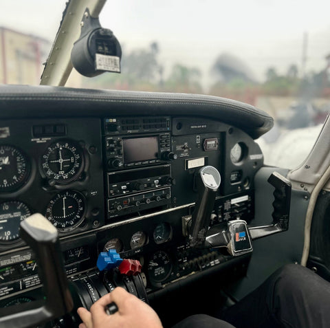
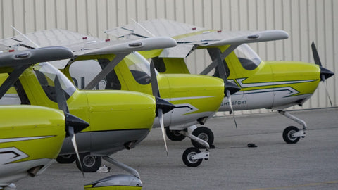


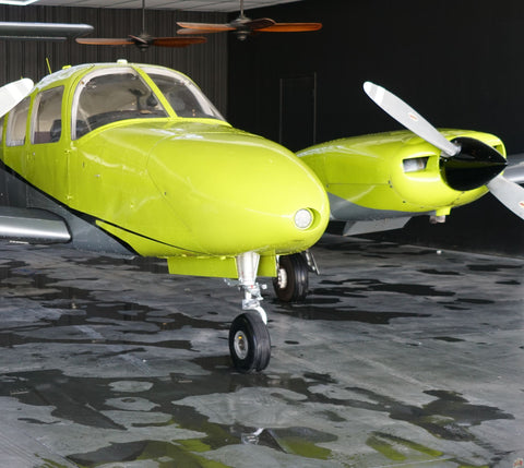

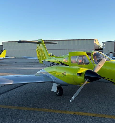


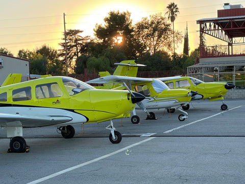
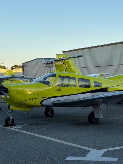
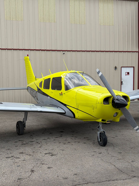













Santa Clarita residents who want to become pilots drive about twenty-four miles south to Van Nuys Airport, where You Fly LA operates from 7900 Balboa Blvd, Main Terminal Unit 108, Van Nuys, CA 91406. It is the longest commute of any area we serve, and it is worth being straight about why people make it: Santa Clarita has no airfield, and Van Nuys has the San Fernando Valley's only substantial training fleet.
For the broader picture of training options across the region, see our Los Angeles flight school guide. If you are at the other end of the valley, the drive is written up separately for Valencia and Stevenson Ranch, and for Porter Ranch and Simi Valley once you are over the pass.

The Drive South Over The Newhall Pass
There is one main route and one useful alternate, and the difference between them is which mountain crossing you prefer.
The 5 to the 405. From Valencia or Newhall, take Interstate 5 southbound over the Newhall Pass. At the interchange in Sylmar the 405 splits off south — take it. Stay on the 405 south through Mission Hills and Panorama City and exit at Roscoe Blvd. Turn right and go west about a mile to Balboa Blvd, then left. About twenty-four miles total. Off-peak — mid-morning, early afternoon, most of the weekend — that is 26 to 32 minutes. Southbound between 6:30 and 9:30 am it is bad: budget 45 to 70 minutes, and more if there is an incident in the pass, which there frequently is. Students who live at the southern end of that run start from our pages on flight training in Sylmar and flight school in Mission Hills and North Hills instead.
The 5 to the 118. Take the 5 south, then the 118 westbound at the interchange, and exit at Balboa Blvd in Granada Hills. Turn left and drive south on Balboa about five miles through Northridge to the airport. It is slightly longer in distance and often shorter in time when the 405 south is backed up, because you are leaving the pass earlier. Off-peak 28 to 35 minutes.
Northbound in the evening, the reverse of route one is usually fine after about 7 pm and grim between 4 and 6:30.
Scheduling Around A Long Commute
This is the practical problem, and it has a good answer.
Flight training is not efficient in short bursts when you are driving an hour round trip. A 45-minute lesson costs you two and a half hours of your day, and the drive-to-flight ratio makes people fly less often, which makes training take longer and cost more overall. The fix that works for our Santa Clarita students is stacking: book a block rather than a slot.
A stacked day looks like an hour of ground instruction, a flight lesson, a break for lunch, and a second flight lesson in the afternoon. Two flights in one day is genuinely productive as long as the second one is not simply a repeat — typically the morning flight introduces a maneuver and the afternoon one consolidates it, which is exactly how skills stick. There is no FAA limit on how many dual instructional hours you may log in a day, and 14 CFR 61.109 counts them the same whether they are on one afternoon or spread across two weeks. What does limit you is fatigue: after about three hours of flying, a student's learning rate falls off sharply, so we do not recommend three flights.
Combined with our 9:00 AM to 9:00 PM, seven days a week schedule, this makes a single Saturday worth roughly two ordinary weeknight lessons. Several of our Santa Clarita students do exactly one long day a week and progress faster than people who live ten minutes away and fly Tuesday evenings.
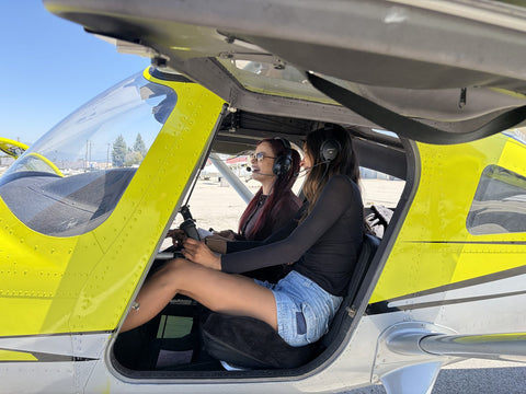
If you want to compress it further, our accelerated training program is built on the same logic taken to its extreme. If you are still deciding where to train rather than when, our Los Angeles pilot school page compares the routes from first lesson to certificate. The first lesson itself is written up as a discovery flight from Santa Clarita.
Santa Clarita From The Air
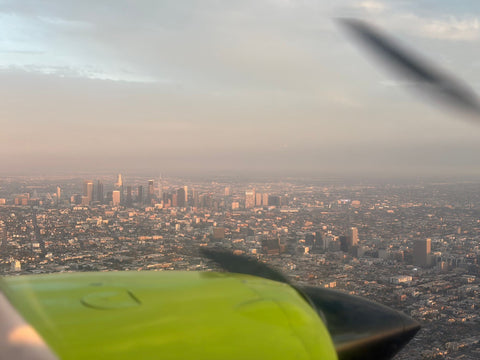
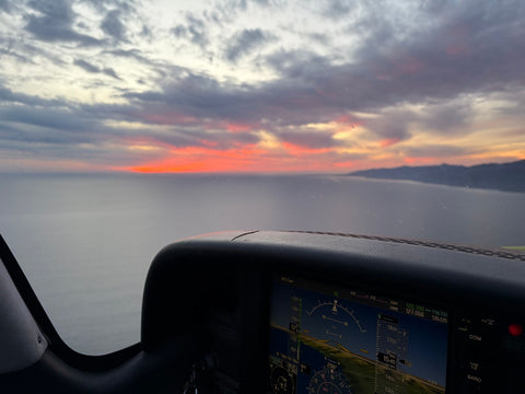
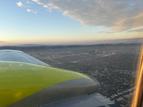
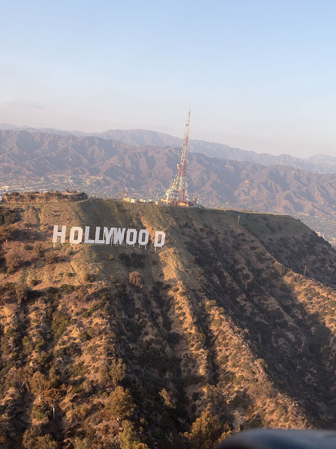
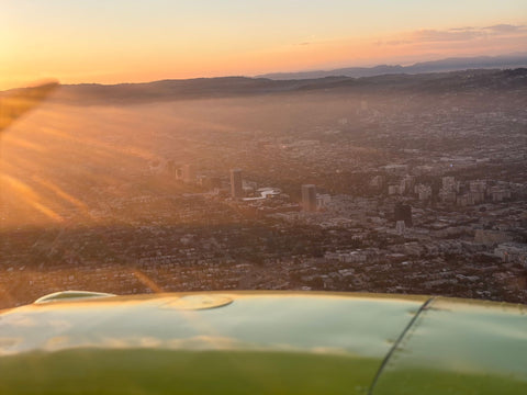
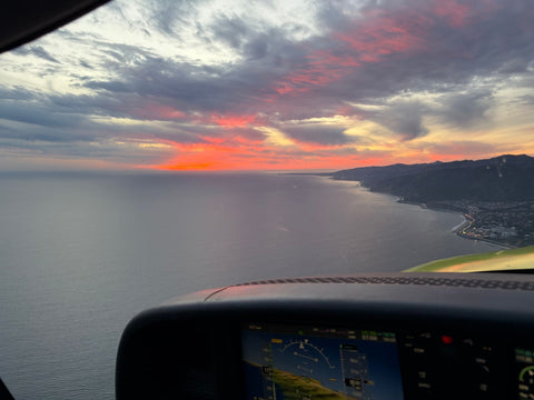
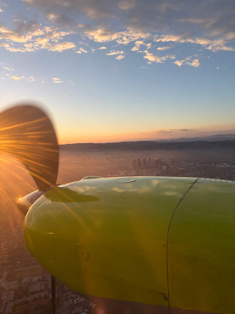
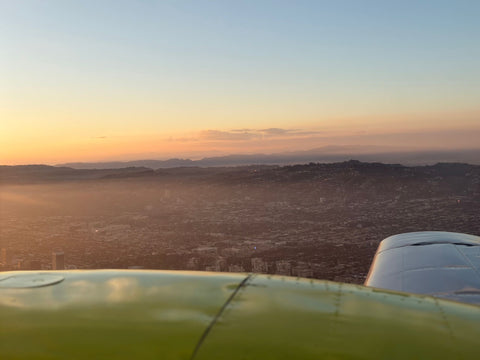
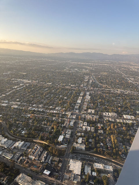
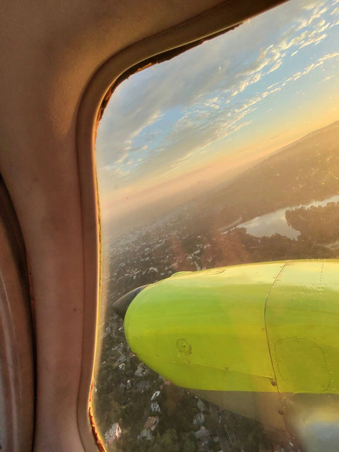
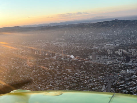
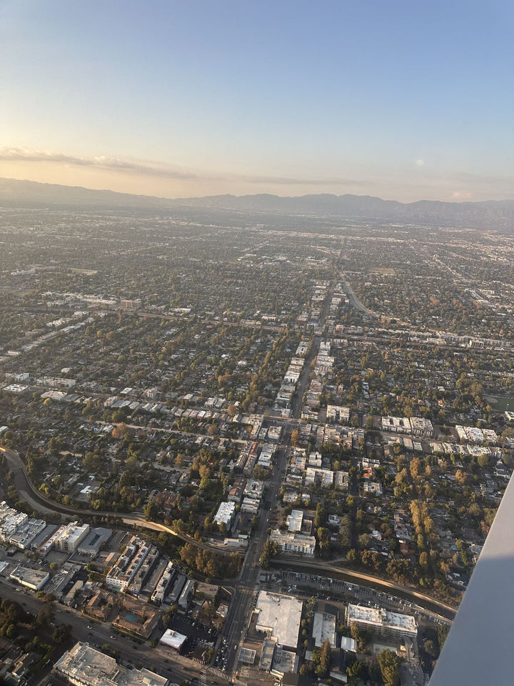
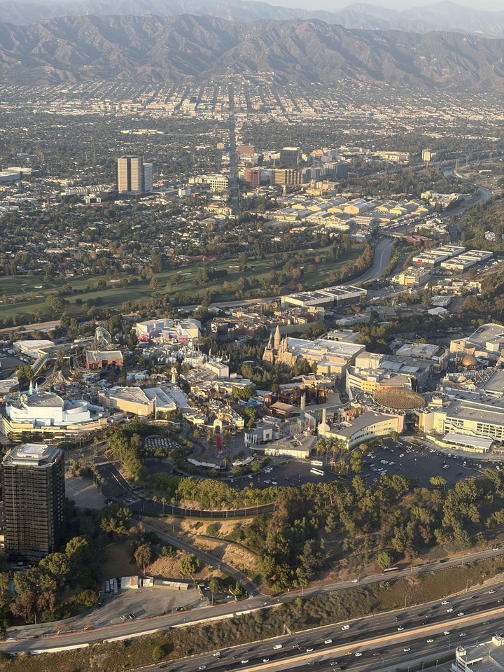
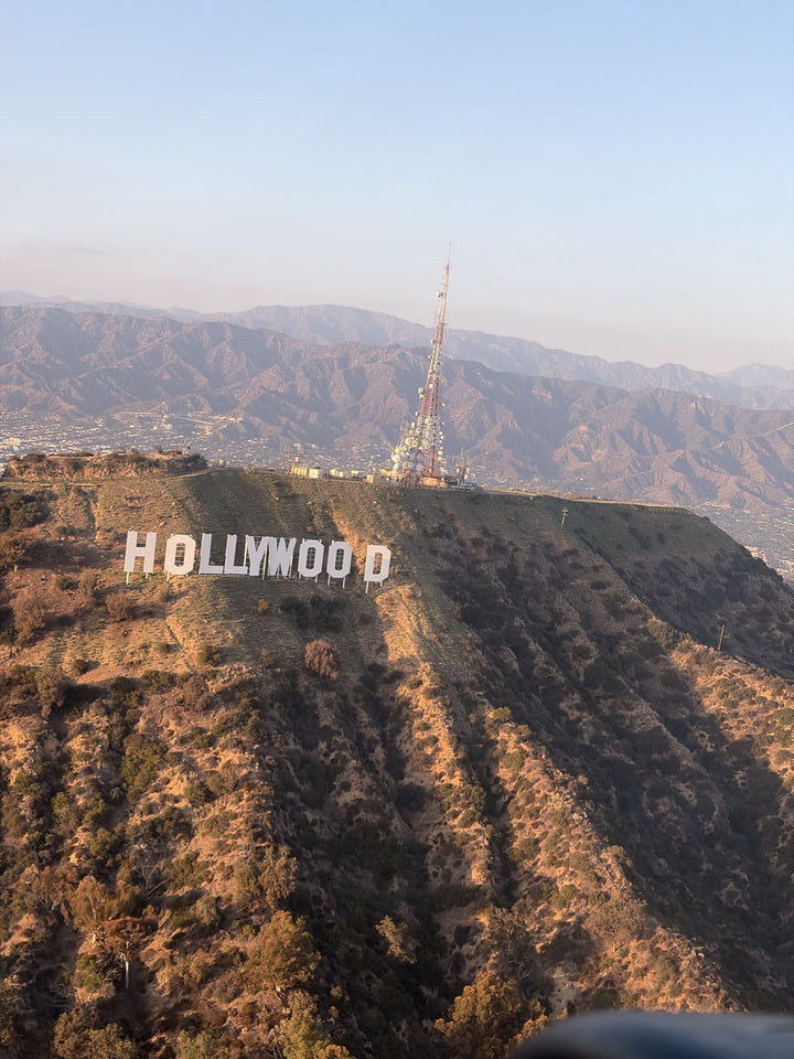
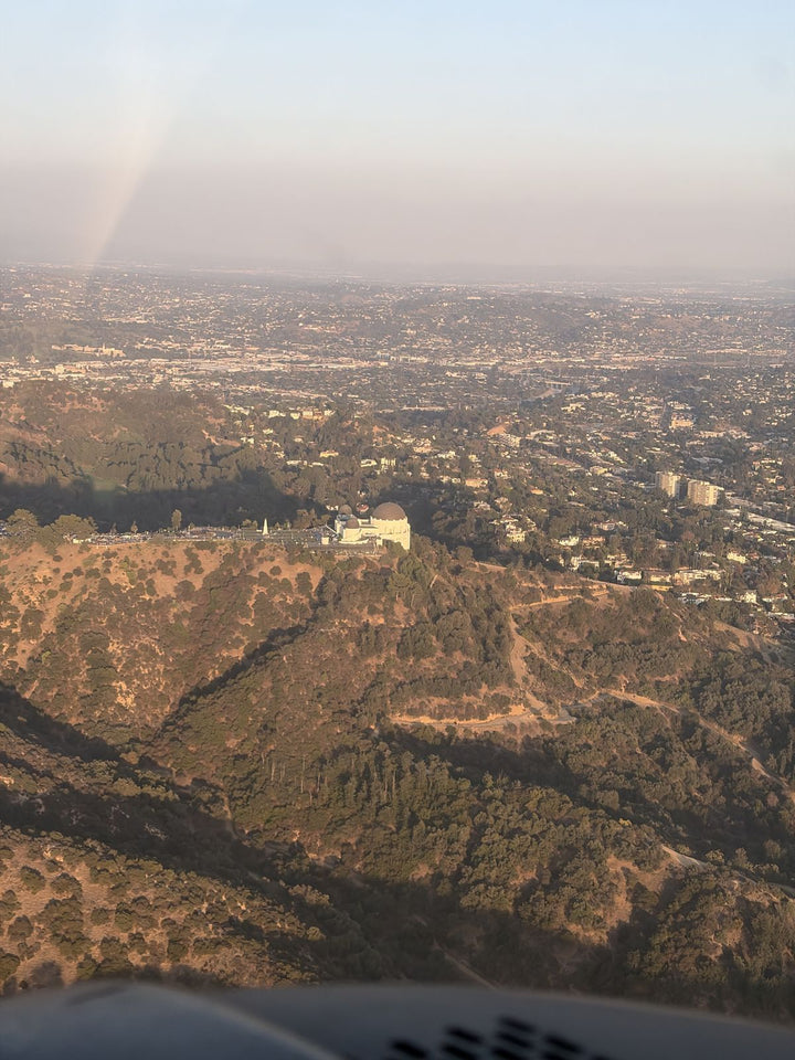
Northbound departures from Van Nuys climb over the north Valley and then over the Santa Susana Mountains, and Santa Clarita opens up on the other side.
The Santa Clara River is the organizing feature. From the ground it looks like an empty gravel wash most of the year; from the air it is unmistakably a river system, a wide braided bed running east to west with the whole city built along its banks. You can follow it from Soledad Canyon out toward Piru.
Six Flags Magic Mountain is the landmark everyone spots first — the coasters are startlingly legible from two or three thousand feet, and the whole park is much more compact than it feels from inside it. Just north of it, the I-5 climbs toward Castaic and the Castaic Lake reservoir sits in the hills. To the east, Placerita Canyon and the Angeles National Forest; to the south, the notch of the Newhall Pass with the freeway threading through it and the San Gabriels stacked up beyond.
Seeing the pass from above is the moment the drive makes sense. It is a genuinely narrow gap between two ranges, and every vehicle going between Santa Clarita and the Valley goes through it.
The Mountains Are Part Of The Training
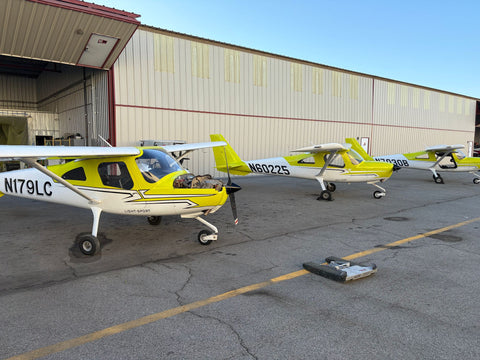
One under-rated benefit of living north of the Valley is that the terrain you drive through is terrain you will eventually learn to fly around. The Santa Susanas, the Newhall Pass and the ridges toward Castaic are close enough to Van Nuys to be a regular part of training rather than a special trip.
That matters because mountainous terrain changes the flying. Wind flowing over a ridge produces downdrafts on the lee side, turbulence in the afternoon, and enough of both on a windy day that a light trainer will lose altitude faster than it can climb if you approach a ridge badly. Learning to read that — approach ridges at an angle so you always have a turn available, cross with altitude in hand, and fly the mountains in the morning — is a skill many low-time pilots elsewhere never acquire properly. It is also directly relevant to anyone who intends to use their certificate to fly north out of the Valley, which most Santa Clarita pilots do.
Costs

| Item | Detail | Price |
|---|---|---|
| Discovery Flight | 60 / 90 / 120 min | $229 / $299 / $399 |
| Private Pilot — Standard | certificate | from $10,400 |
| Private Pilot — Comprehensive | certificate | from $15,400 |
| Instrument Rating | rating | $11,700 |
| Multi-Engine Rating | 7 days | $5,100 |
| Aircraft, per hour | standard | $179 |
| Instructor, per hour | flight or ground | $110 |
| Simulator, per hour | — | $120 |
A stacked day of two flight hours plus one ground hour comes to $179 × 2 aircraft, $110 × 3 instruction — the arithmetic is the same as three separate visits, minus two round trips over the pass.
Frequently Asked Questions
How Far Is Van Nuys Airport From Santa Clarita?
About twenty-four miles. Take the 5 south over the Newhall Pass to the 405 south, exit Roscoe Blvd and go west to Balboa. Off-peak it is 26 to 32 minutes; in the morning peak, 45 to 70.
Is There A Better Route Than The 405 In The Morning?
Often, yes. Take the 5 south to the 118 west and exit Balboa Blvd in Granada Hills, then drive south. It leaves the pass earlier and avoids the worst of the 405.
Can I Do Two Flight Lessons In One Day?
Yes, and for anyone driving from Santa Clarita it usually makes sense. A morning flight, a ground session, and an afternoon flight is a productive day. Three flights is not — learning drops off sharply after about three hours in the air.
Is There A Flight School Closer To Santa Clarita?
Santa Clarita itself has no airfield. Agua Dulce Airpark and Whiteman Airport in Pacoima are closer in miles but are far smaller fields; Van Nuys has the region's largest concentration of training aircraft, instructors and maintenance, which is what actually determines how fast you finish.
What Will I See Over Santa Clarita From The Airplane?
Magic Mountain's coasters, the braided bed of the Santa Clara River running east to west through the city, Castaic Lake in the hills to the north, and the Newhall Pass cutting south through the Santa Susanas.
Do You Have An Office In Santa Clarita Or Valencia?
No. We operate only from Van Nuys Airport at 7900 Balboa Blvd, Main Terminal Unit 108. Santa Clarita is an area we serve, not a location we occupy.
Related Pages
- Flight School In Los Angeles — the metro-level comparison.
- Flight Training At Van Nuys Airport — the field, the runways and the airspace.
- Accelerated Flight Training — full-time training for people who want it finished.
- Learn To Fly In Los Angeles — the stage-by-stage path.
- Book A Discovery Flight — the first hour, with you flying.
- Service areas around Van Nuys — drive times from every neighborhood we serve.
Book Your First Flight
Make one drive over the pass and find out whether this is actually for you. Book a discovery flight online, or call (818) 330-1318 and ask us to build you a stacked day. We are at 7900 Balboa Blvd, Main Terminal Unit 108, Van Nuys, CA 91406, open 9:00 AM to 9:00 PM, every day.