







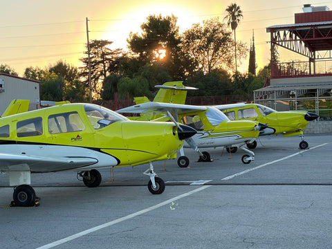
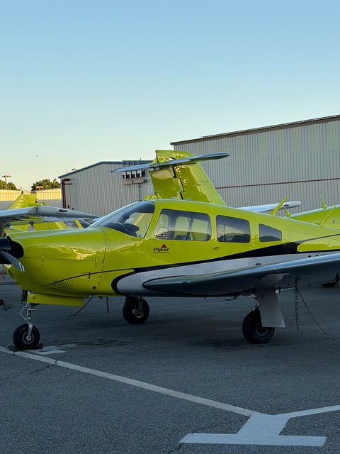
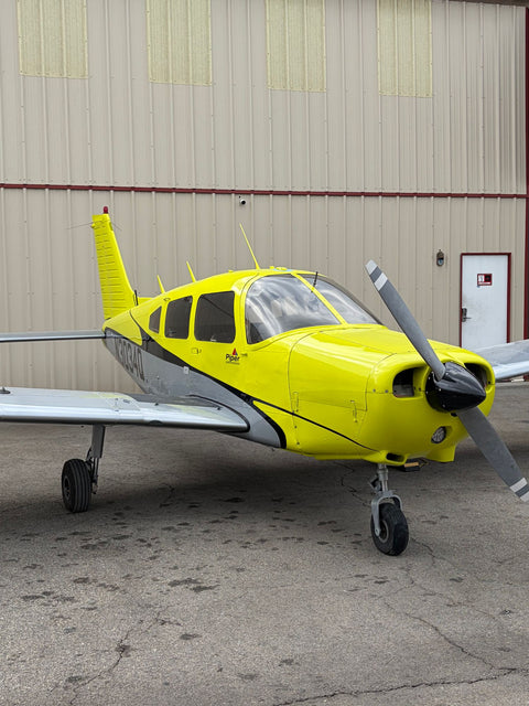












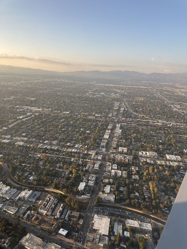
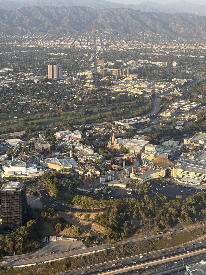
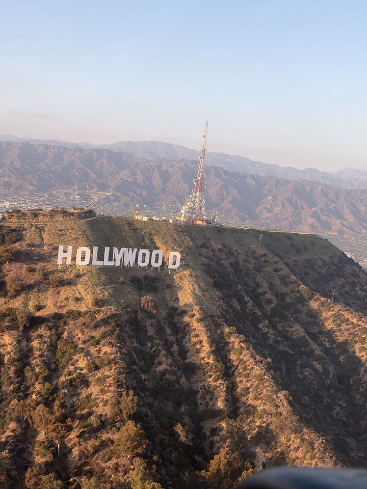
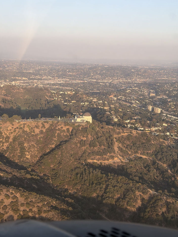

From Malibu the nearest flight school is at Van Nuys Airport, and unlike almost everyone else in Los Angeles you do not get there on a freeway. You go inland through a canyon: Topanga, Malibu Canyon or Kanan Dume north to the 101, then east to Balboa Boulevard. It is roughly 23 to 37 miles depending on where on the coast you start, and 35 to 70 minutes. You Fly LA is at 7900 Balboa Blvd, Main Terminal Unit 108, on the west side of the field.
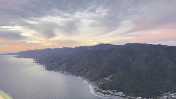
Malibu is also the only place on our service-area list where the flight is the same shape as the drive in reverse. The Malibu coast is one of our standard discovery flight routes, which means you will spend a good part of your training looking down at the road you took to get here. Our wider guide to choosing a flight school in Los Angeles covers the general criteria; this page is about the canyons and the coast.

Getting Here From Malibu: Pick Your Canyon
Three canyon roads cross the Santa Monica Mountains between PCH and the 101, and the right one depends entirely on where your stretch of coast is.
- Topanga Canyon Boulevard. The eastern option, from PCH at Topanga Beach up to Ventura Boulevard and the 101, then north on Topanga Canyon Boulevard through Woodland Hills to Roscoe Boulevard and east to Balboa. Best for eastern Malibu, Las Flores and Carbon Beach.
- Malibu Canyon Road, which becomes Las Virgenes. The central option, from PCH near the Civic Center up past Pepperdine and Malibu Creek State Park to the 101 at Calabasas, then east. Best for central Malibu, the Pier, Point Dume's eastern approach and the Colony.
- Kanan Dume Road. The western option, from PCH at Point Dume up through the tunnels to the 101 at Agoura Hills, then east. Best for Zuma, Point Dume, Trancas and anything west of them.
| Starting Point | Route | Approximate Distance | Drive Time Range |
|---|---|---|---|
| Topanga Beach and Las Flores, 90265 | Topanga Canyon Blvd north to Roscoe Blvd | About 23 miles | 35 to 55 minutes |
| Malibu Pier and the Civic Center, 90265 | Malibu Canyon Rd to Las Virgenes to 101 E | About 27 miles | 38 to 60 minutes |
| Malibu Colony and Cross Creek, 90265 | Malibu Canyon Rd to Las Virgenes to 101 E | About 28 miles | 40 to 60 minutes |
| Point Dume and Zuma Beach, 90265 | Kanan Dume Rd to 101 E, exit Balboa | About 34 miles | 45 to 65 minutes |
| Trancas and western Malibu, 90265 | Kanan Dume Rd to 101 E, exit Balboa | About 37 miles | 50 to 70 minutes |
The Honest Version Of That Drive
Malibu's commute has a completely different character from everyone else's on this list, and it is worth being precise about both halves of it.
The canyon half is not a traffic problem. It is a road-condition problem. Topanga, Malibu Canyon and Kanan Dume are two-lane mountain roads, and any of them can close outright after a slide, a fire or heavy rain, sometimes for days. They are also genuinely slower in the dark and in fog. If you are planning around a fixed lesson time, check the road before you leave and know which of the other two canyons you would use instead.
The 101 half is an ordinary Los Angeles freeway with ordinary Los Angeles problems, worst eastbound in the morning peak and westbound between four and seven. Since you are driving east in the morning and west in the afternoon, the direction is against you rather than with you, which is the opposite of the west-side commutes. Mid-morning and weekend slots are therefore worth more to a Malibu student than to almost anyone else.
PCH itself is the other variable. On a summer Saturday the coast road adds twenty minutes before you even reach your canyon, so an early start matters more here than a clever route.
Three And Four Hour Blocks Are The Whole Trick
At 27 miles of canyon and freeway, a one-hour lesson is not worth the journey. Everyone who makes this work books a block of three to four hours.
- Two flights in one visit. A 1.5-hour lesson, a break, then a shorter second flight. One brief, one debrief, most of a week's flying.
- Flight plus simulator. Ninety minutes in the airplane and an hour in the Redbird MCX full-motion simulator. When a canyon is closed or the coast is socked in, the simulator turns a lost day into a useful one.
- Flight plus ground. An hour of ground instruction after the debrief is where the written exam gets passed.
- Two visits a week. Four to five flight hours a week is what stops the 40-hour minimum in 14 CFR 61.109 from turning into 70 hours.
We are open 9 AM to 9 PM, seven days a week, which makes a Saturday morning block from the coast an easy booking.
You Will Fly Home Along Your Own Coast

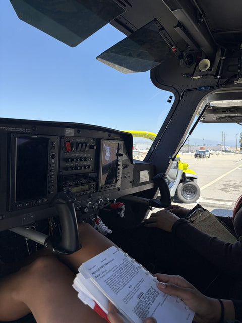
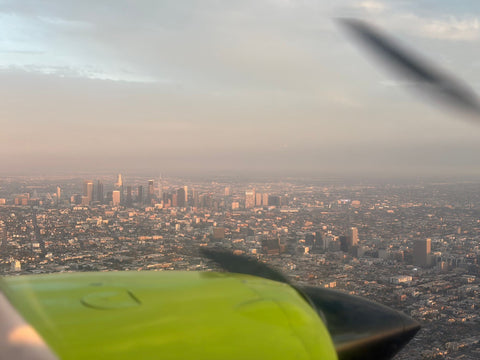
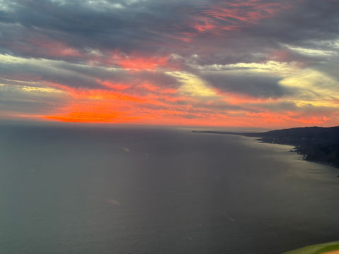
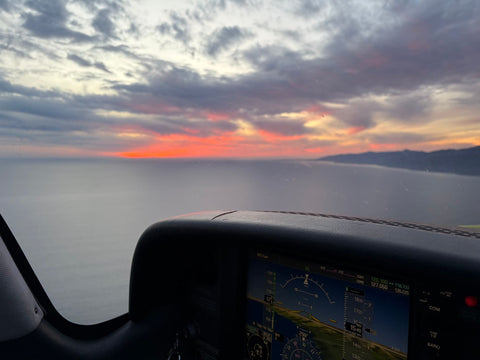
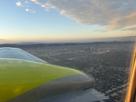
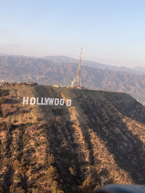
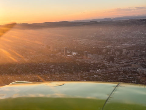
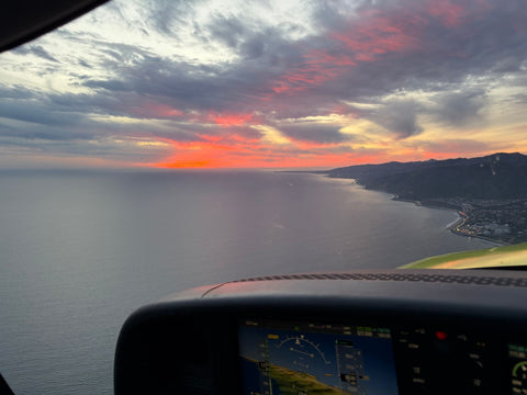
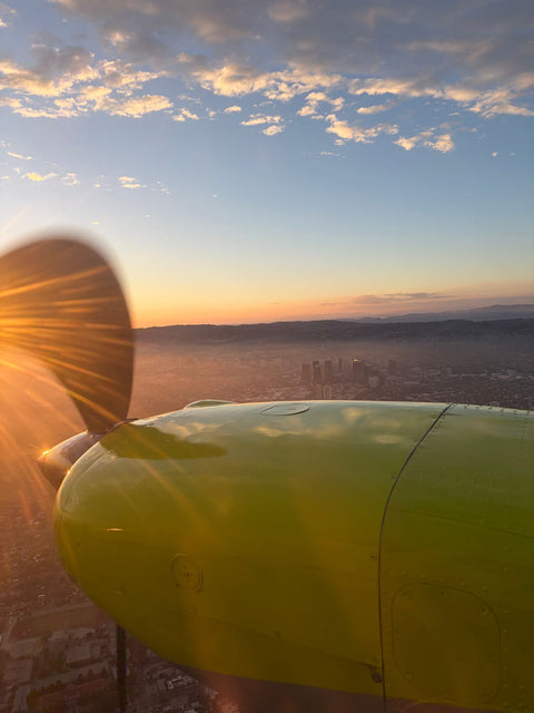
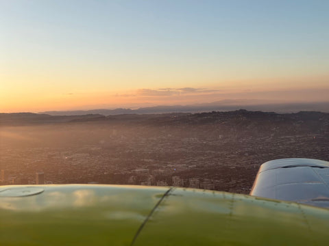
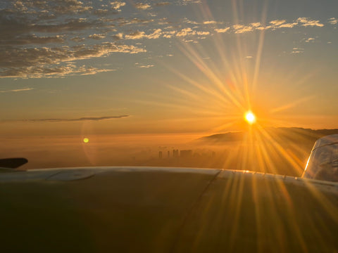
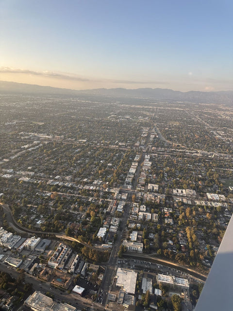
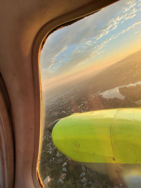
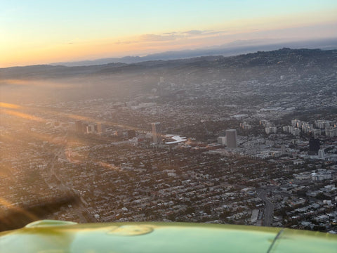
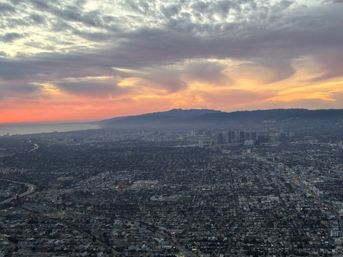
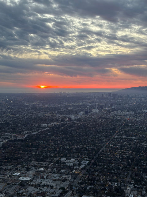
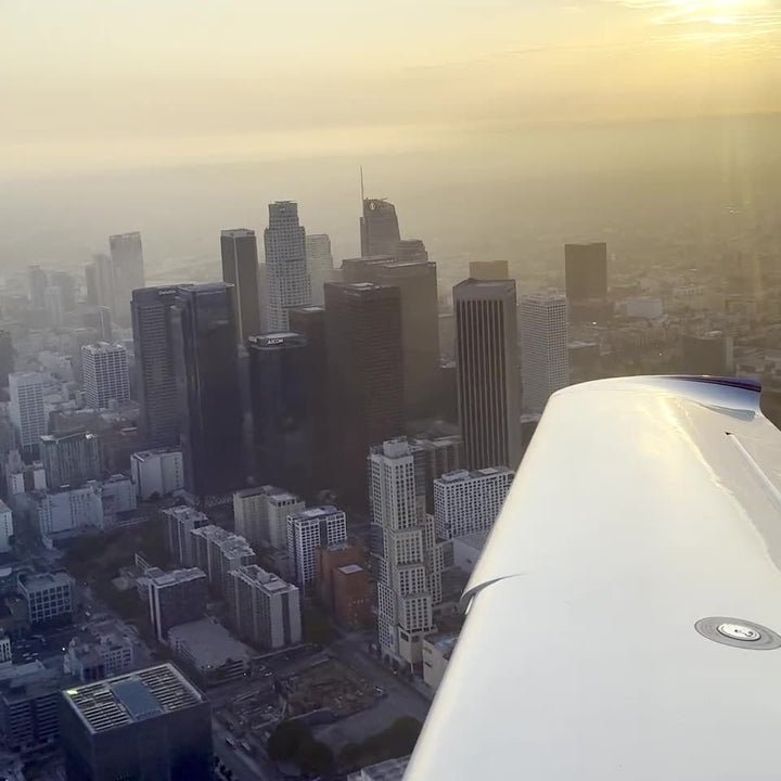
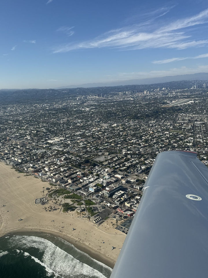
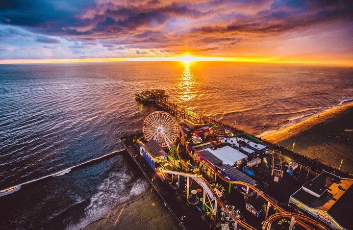
Van Nuys is about ten minutes of flying from the coast. Depart, climb out over the Santa Monica Mountains, and you are over the water somewhere between Topanga and Point Dume with the whole Malibu shoreline running away to the west. Zuma, Point Dume, Paradise Cove, the Colony, the Pier and the Getty Villa are all inside a short flight, and the Channel Islands sit out to the west beyond them. Our Malibu coast flight page describes the route properly.
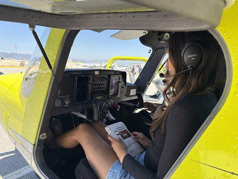
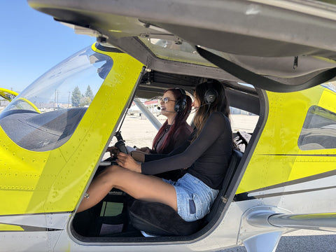
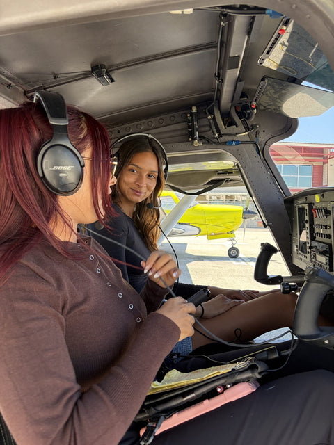
A word on what these flights are. They are discovery flights: instructional flights that you fly yourself from the left seat with a flight instructor beside you, logged as dual instruction. They are not air tours, and we do not hold a 14 CFR 91.147 letter of authorization for commercial sightseeing.
There is a training argument here too, not just a scenic one. Coastal flying teaches things that inland pattern work does not: reading a marine layer from above, staying oriented when the horizon over water goes soft, planning a route where one side of you is terrain and the other is open sea, and thinking properly about where you would go if the engine stopped. Those are good habits to build early, and living on the coast means you will care about them.
What It Costs
| Item | Detail | Price |
|---|---|---|
| Discovery flight | 60 / 90 / 120 minutes, you fly | $229 / $299 / $399 |
| Malibu Coast discovery flight for two | 60 / 90 / 120 minutes, 360 lb combined limit | $299 / $399 / $499 |
| Luxury Cirrus SR22 Discovery Flight | 60 / 90 / 120 minutes, 400 lb combined limit | $499 / $649 / $799 ($599 / $849 / $1,049 with a passenger) |
| Full-motion simulator session | 60 minutes | $189 |
| Private Pilot, Standard | 38 hours aircraft, 30 hours dual | $10,400 |
| Private Pilot, Comprehensive | 55 hours aircraft, 50 hours dual | $15,400 |
| Instrument Rating | 20 hours aircraft, 20 hours simulator | $11,700 |
| High-performance endorsement, SR22 Turbo | 14 CFR 61.31(f) | $1,799 |
| Instructor | Per hour, aircraft or simulator | $110 |
Training is under Part 61. We do not hold Part 141, do not issue I-20s, and do not accept the GI Bill. Discovery flights are credited in full toward a course if you enroll within 24 hours.
Related Reading
- Malibu coast flight — Point Dume, Zuma and the Santa Monica Bay from the left seat.
- Flight school near Calabasas — the next community east along the 101.
- Cirrus training in Los Angeles — the SR22 Turbo and the high-performance endorsement.
- Cross-country destinations from Van Nuys — Santa Barbara, Santa Ynez and the Channel Islands.
- Flyable days at Van Nuys — how the marine layer shapes a coastal student's calendar.
- Where our students come from — drive times across the region.
Frequently Asked Questions
Is There A Flight School In Malibu?
No. Malibu has no airfield. The nearest general aviation airports are Van Nuys, 23 to 37 miles inland through the canyons, Camarillo about 35 miles west of Van Nuys, and Santa Monica to the southeast.
How Far Is Van Nuys Airport From Malibu?
About 23 miles from Topanga Beach via Topanga Canyon Boulevard, about 27 miles from the Malibu Civic Center via Malibu Canyon, and about 34 miles from Point Dume via Kanan Dume Road. Allow 35 to 70 minutes.
Which Canyon Road Should I Use?
Topanga Canyon Boulevard for eastern Malibu, Malibu Canyon Road and Las Virgenes for the central coast and the Civic Center, and Kanan Dume Road for Zuma, Point Dume and anything west. Always have a second choice, because canyons close.
What Happens If My Canyon Road Is Closed?
Use one of the other two and allow extra time, or move the lesson into the full-motion simulator for that day. Tell us as early as you can and we will rearrange rather than charge you for a slot you could not reach.
Will I Fly Over Malibu During Training?
Frequently. Van Nuys is about ten minutes of flying from the coast, and the Malibu shoreline is one of the standard routes for discovery flights and for navigation exercises during a private pilot course.
Are These Sightseeing Tours?
No. They are discovery flights, which are instructional flights you fly yourself from the left seat with a flight instructor beside you and which are logged as dual instruction. We do not hold a 14 CFR 91.147 letter of authorization for commercial sightseeing.
Can I Train In The Cirrus SR22 Turbo?
Yes. Add it to any package at +$400 per hour, for as many hours as you choose, and the high-performance endorsement under 14 CFR 61.31(f) is $1,799 if you already hold a certificate. Inside a course package the SR22 Turbo is $579 an hour wet.
Does Coastal Weather Make Flying Harder From Here?
It makes coastal fields harder. Van Nuys is on the inland side of the Santa Monica Mountains and generally clears earlier than the coast on a marine-layer morning, which is one of the better reasons for a Malibu resident to train inland and fly out to the water.
Come Over The Hill And Fly Back Along The Coast
Book a discovery flight for $229, drive up through your canyon on a weekday morning, and fly an hour yourself from the left seat with the coast off your left wing on the way home. If you would rather ask questions first, book a free consultation and we will go through the course, the schedule and the money. Call (818) 330-1318 any day between 9 AM and 9 PM. We are at 7900 Balboa Blvd, Main Terminal Unit 108, Van Nuys, CA 91406, on Van Nuys Airport.